
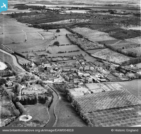
EAW004818 ENGLAND (1947). The town, Fordwich, from the west, 1947
© Hawlfraint cyfranwyr OpenStreetMap a thrwyddedwyd gan yr OpenStreetMap Foundation. 2024. Trwyddedir y gartograffeg fel CC BY-SA.
Delweddau cyfagos (4)
EAW004818

EAW004817

EAW004816

EAW004814

Manylion
| Pennawd | [EAW004818] The town, Fordwich, from the west, 1947 |
| Cyfeirnod | EAW004818 |
| Dyddiad | 25-April-1947 |
| Dolen | |
| Enw lle | FORDWICH |
| Plwyf | FORDWICH |
| Ardal | |
| Gwlad | ENGLAND |
| Dwyreiniad / Gogleddiad | 617856, 159739 |
| Hydred / Lledred | 1.1251661458164, 51.294525899993 |
| Cyfeirnod Grid Cenedlaethol | TR179597 |
Pinnau
 Sparky |
Friday 6th of October 2017 06:25:56 PM | |
totoro |
Wednesday 11th of December 2013 10:30:37 PM | |
totoro |
Wednesday 11th of December 2013 10:28:40 PM | |
totoro |
Wednesday 11th of December 2013 10:21:37 PM | |
totoro |
Wednesday 11th of December 2013 10:21:13 PM | |
totoro |
Wednesday 11th of December 2013 10:20:17 PM | |
totoro |
Wednesday 11th of December 2013 10:19:14 PM | |
totoro |
Wednesday 11th of December 2013 10:18:42 PM | |
totoro |
Wednesday 11th of December 2013 10:18:00 PM | |
 |
totoro |
Wednesday 11th of December 2013 10:16:25 PM |
totoro |
Wednesday 11th of December 2013 10:13:04 PM |


