
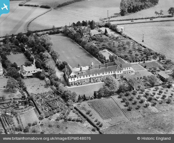
epw048076 ENGLAND (1935). Worcester College for the Blind, Worcester, 1935
© Copyright OpenStreetMap contributors and licensed by the OpenStreetMap Foundation. 2024. Cartography is licensed as CC BY-SA.
Nearby Images (6)
EPW048076

EPW048077

EPW048074

EPW048075

EPW048072

EPW048073

Details
| Title | [EPW048076] Worcester College for the Blind, Worcester, 1935 |
| Reference | EPW048076 |
| Date | June-1935 |
| Link | |
| Place name | WORCESTER |
| Parish | |
| District | |
| Country | ENGLAND |
| Easting / Northing | 387048, 253425 |
| Longitude / Latitude | -2.1894383696845, 52.178522496535 |
| National Grid Reference | SO870534 |
Pins
Be the first to add a comment to this image!