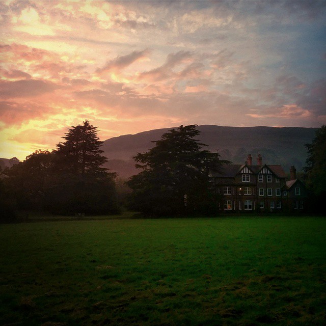
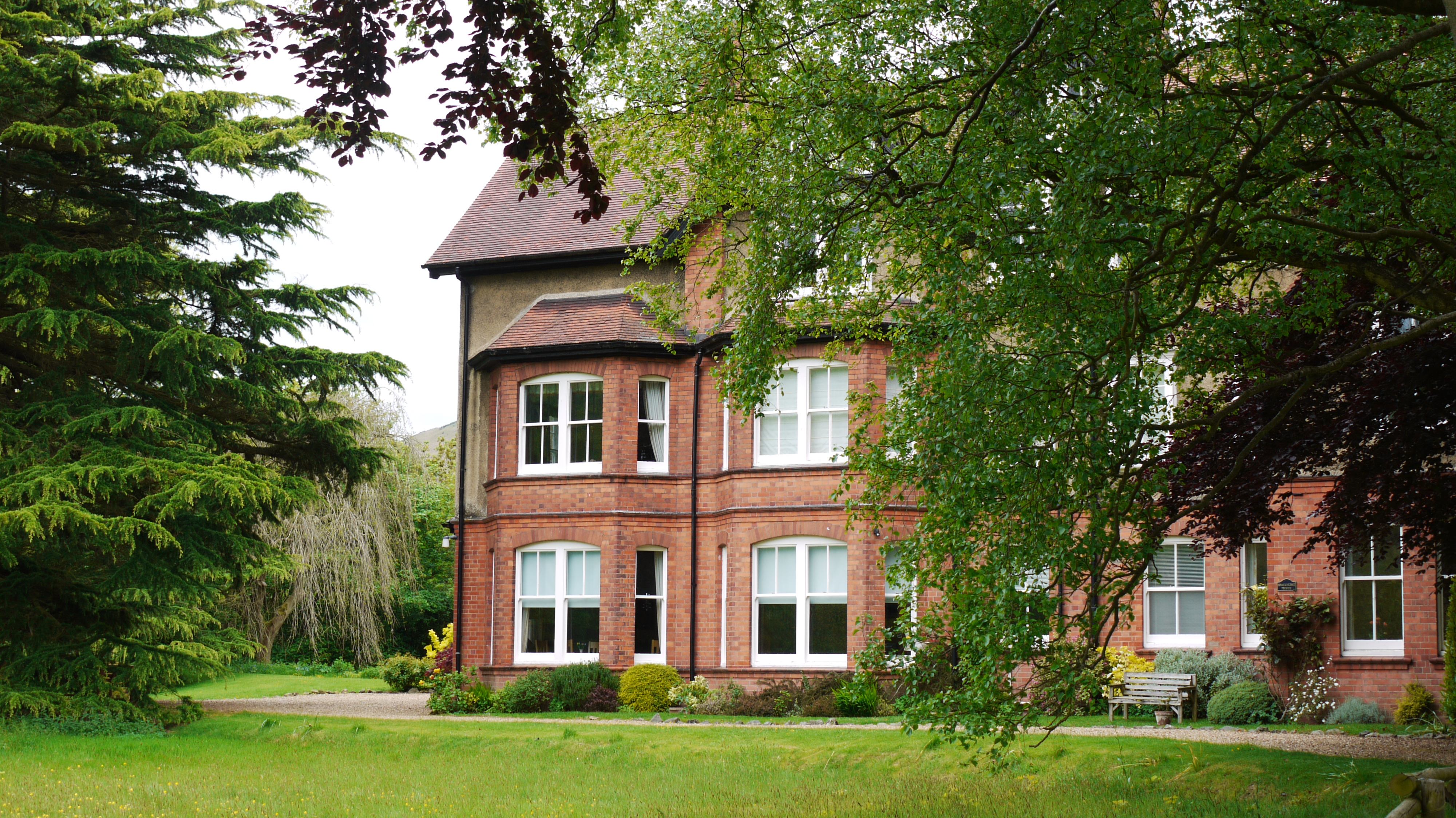
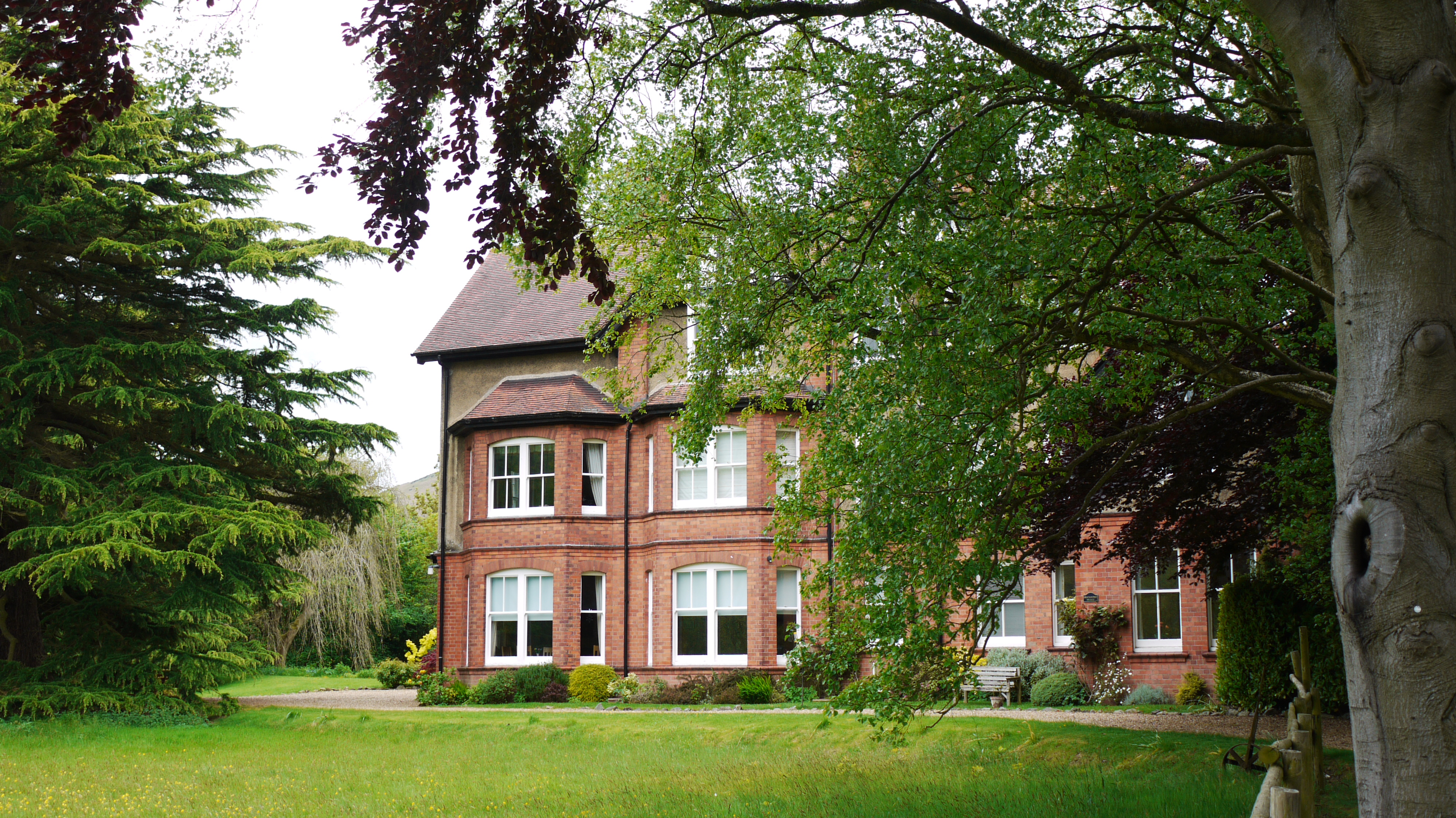
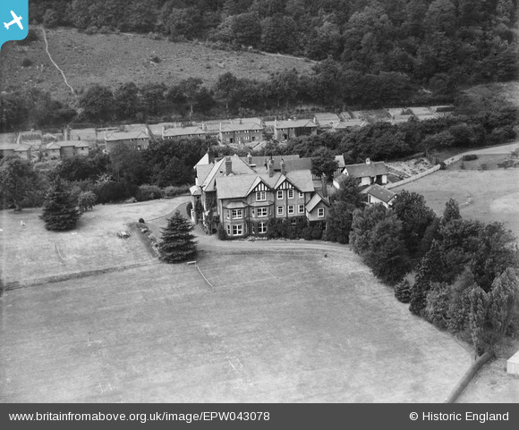
epw043078 ENGLAND (1933). Brockhurst School, Church Stretton, 1933
© Copyright OpenStreetMap contributors and licensed by the OpenStreetMap Foundation. 2026. Cartography is licensed as CC BY-SA.
Nearby Images (8)
EPW043075

EPW043076

EPW043077

EPW043078

EPW043080

EPW043081

EPW043082

EAW017335

Details
| Title | [EPW043078] Brockhurst School, Church Stretton, 1933 |
| Reference | EPW043078 |
| Date | September-1933 |
| Link | |
| Place name | CHURCH STRETTON |
| Parish | CHURCH STRETTON |
| District | |
| Country | ENGLAND |
| Easting / Northing | 344600, 292700 |
| Longitude / Latitude | -2.8167321541315, 52.528986206516 |
| National Grid Reference | SO446927 |
Pins

wizzmike |
Tuesday 28th of August 2012 03:00:29 PM | |
Sorry - too hasty in posting! Different school!!! |
wizzmike |
Tuesday 28th of August 2012 03:04:06 PM |
Its the same school, but the location changed in 1945 to its new location in Marlston |

Wibbleman |
Friday 19th of June 2015 07:59:14 PM |