
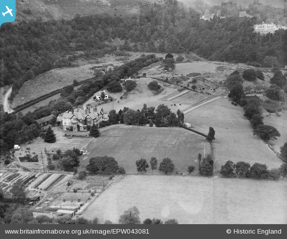
EPW043081 ENGLAND (1933). Brockhurst School, Church Stretton, 1933
© Copyright OpenStreetMap contributors and licensed by the OpenStreetMap Foundation. 2026. Cartography is licensed as CC BY-SA.
Nearby Images (7)
EPW043081

EPW043082

EPW043080

EPW043075

EPW043076

EPW043077

EPW043078

Details
| Title | [EPW043081] Brockhurst School, Church Stretton, 1933 |
| Reference | EPW043081 |
| Date | September-1933 |
| Link | |
| Place name | CHURCH STRETTON |
| Parish | CHURCH STRETTON |
| District | |
| Country | ENGLAND |
| Easting / Northing | 344700, 292800 |
| Longitude / Latitude | -2.8152747190981, 52.529895370908 |
| National Grid Reference | SO447928 |
Pins

wizzmike |
Sunday 12th of May 2013 04:20:15 PM |
User Comment Contributions
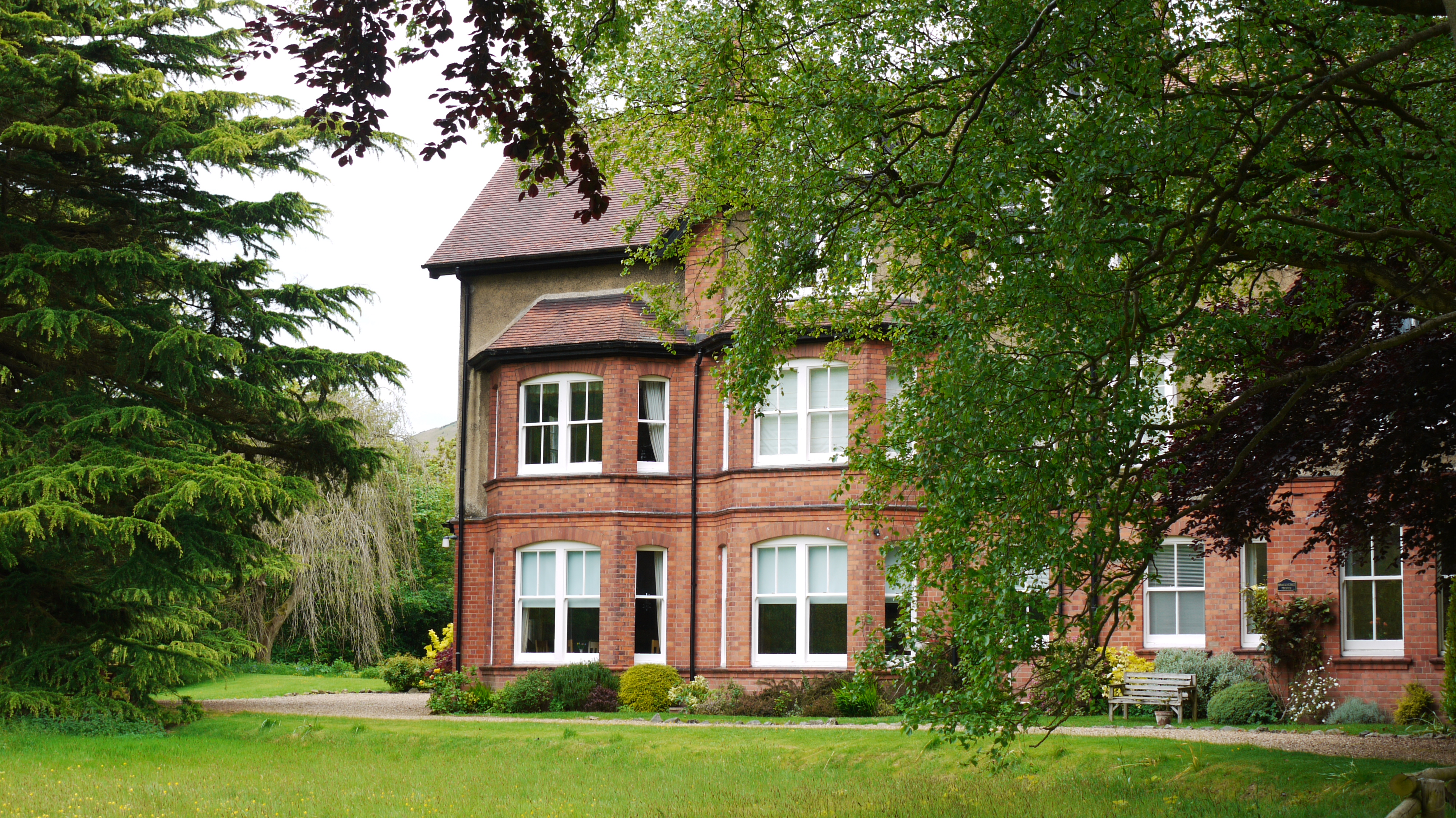
Previously Brockhurst School, Church Stretton, 27/05/2015 |

Class31 |
Sunday 31st of May 2015 08:51:43 AM |