
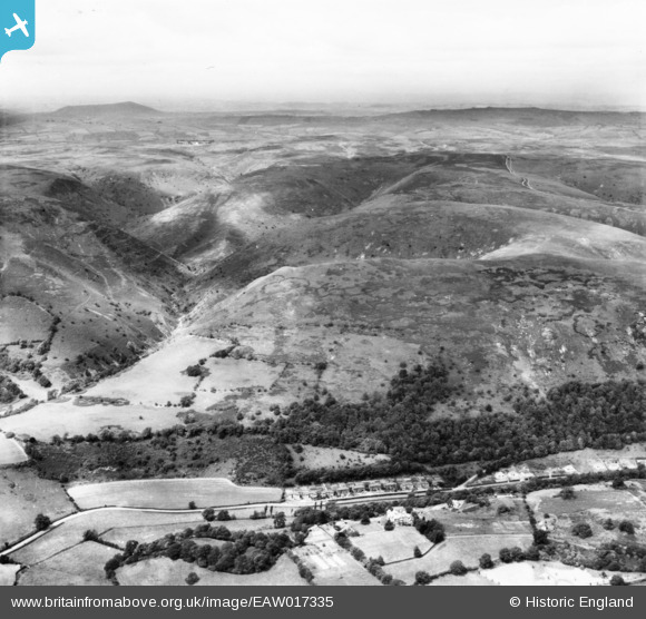
EAW017335 ENGLAND (1948). The Long Mynd, Church Stretton, from the east, 1948. This image has been produced from a print.
© Copyright OpenStreetMap contributors and licensed by the OpenStreetMap Foundation. 2026. Cartography is licensed as CC BY-SA.
Nearby Images (5)
EAW017335

EPW043075

EPW043076

EPW043077

EPW043078

Details
| Title | [EAW017335] The Long Mynd, Church Stretton, from the east, 1948. This image has been produced from a print. |
| Reference | EAW017335 |
| Date | 20-July-1948 |
| Link | |
| Place name | CHURCH STRETTON |
| Parish | CHURCH STRETTON |
| District | |
| Country | ENGLAND |
| Easting / Northing | 344425, 292818 |
| Longitude / Latitude | -2.8193315406801, 52.530029199832 |
| National Grid Reference | SO444928 |


