
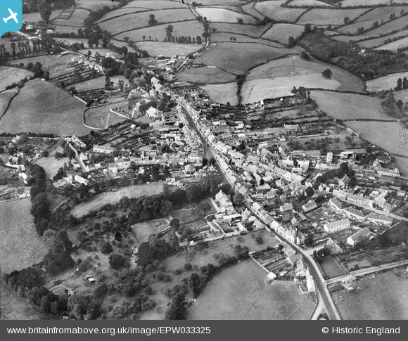
epw033325 ENGLAND (1930). The town centre, Chudleigh, 1930
© Copyright OpenStreetMap contributors and licensed by the OpenStreetMap Foundation. 2024. Cartography is licensed as CC BY-SA.
Nearby Images (4)
EPW033325

EPW033326

EPW033328

EPW033327

Details
| Title | [EPW033325] The town centre, Chudleigh, 1930 |
| Reference | EPW033325 |
| Date | July-1930 |
| Link | |
| Place name | CHUDLEIGH |
| Parish | CHUDLEIGH |
| District | |
| Country | ENGLAND |
| Easting / Northing | 286871, 79571 |
| Longitude / Latitude | -3.5988560864816, 50.604291522977 |
| National Grid Reference | SX869796 |
Pins
Be the first to add a comment to this image!