
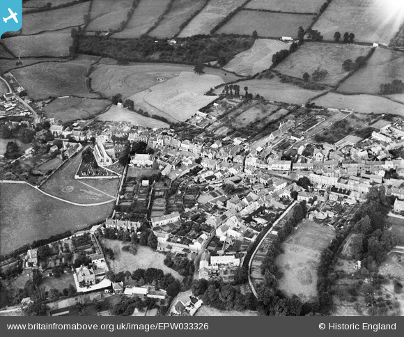
EPW033326 ENGLAND (1930). Fore Street and environs, Chudleigh, 1930
© Copyright OpenStreetMap contributors and licensed by the OpenStreetMap Foundation. 2025. Cartography is licensed as CC BY-SA.
Nearby Images (3)
EPW033326

EPW033325

EPW033327

Details
| Title | [EPW033326] Fore Street and environs, Chudleigh, 1930 |
| Reference | EPW033326 |
| Date | July-1930 |
| Link | |
| Place name | CHUDLEIGH |
| Parish | CHUDLEIGH |
| District | |
| Country | ENGLAND |
| Easting / Northing | 286776, 79510 |
| Longitude / Latitude | -3.6001795634215, 50.60372467933 |
| National Grid Reference | SX868795 |
Pins
Be the first to add a comment to this image!