
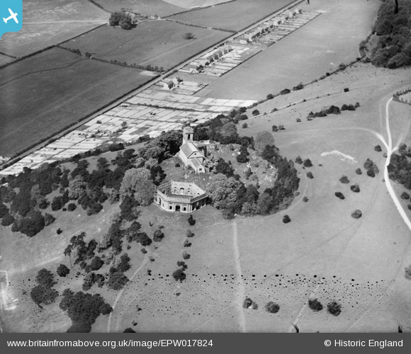
epw017824 ENGLAND (1927). St Lawrence's Church and The Mausoleum, West Wycombe, 1927
© Copyright OpenStreetMap contributors and licensed by the OpenStreetMap Foundation. 2025. Cartography is licensed as CC BY-SA.
Nearby Images (6)
EPW017824

EAW049252

EAW015435

EAW049254

EAW049251

EAW049253

Details
| Title | [EPW017824] St Lawrence's Church and The Mausoleum, West Wycombe, 1927 |
| Reference | EPW017824 |
| Date | April-1927 |
| Link | |
| Place name | WEST WYCOMBE |
| Parish | WEST WYCOMBE |
| District | |
| Country | ENGLAND |
| Easting / Northing | 482757, 194970 |
| Longitude / Latitude | -0.80376925569999, 51.646962389044 |
| National Grid Reference | SU828950 |
Pins

sweetpeagrower |
Thursday 25th of October 2012 10:34:51 PM | |

Class31 |
Thursday 25th of October 2012 03:57:21 PM | |
|
Class31 |
Thursday 25th of October 2012 03:56:44 PM | |
|
Class31 |
Thursday 25th of October 2012 03:54:31 PM |
User Comment Contributions
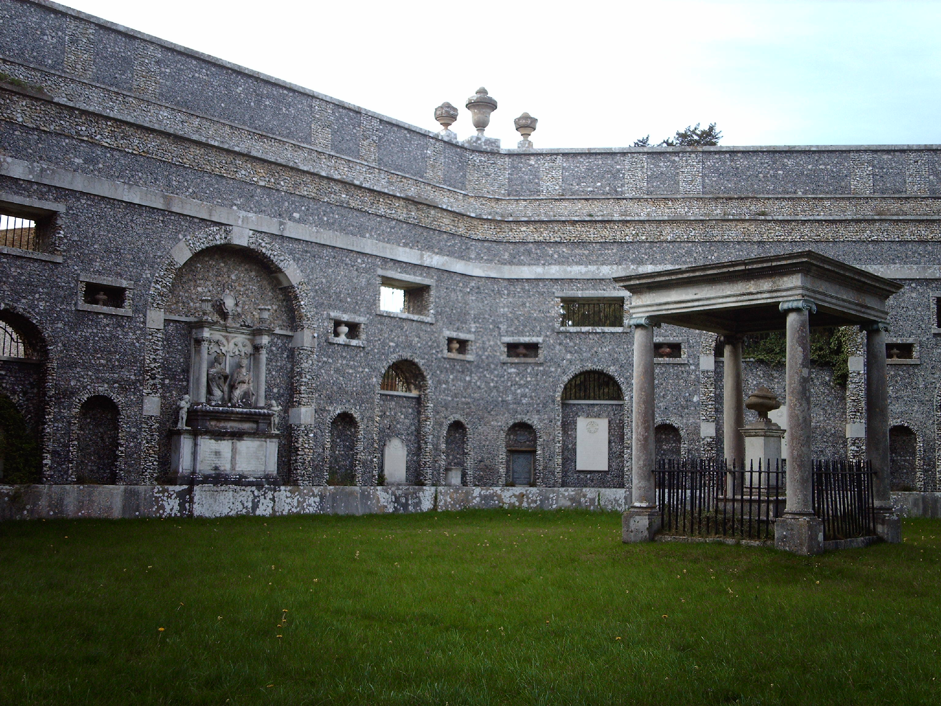
Mausoleum |
Class31 |
Monday 1st of July 2013 12:01:34 PM |
Great ground shots Class31! |
Katy Whitaker |
Monday 1st of July 2013 12:01:34 PM |
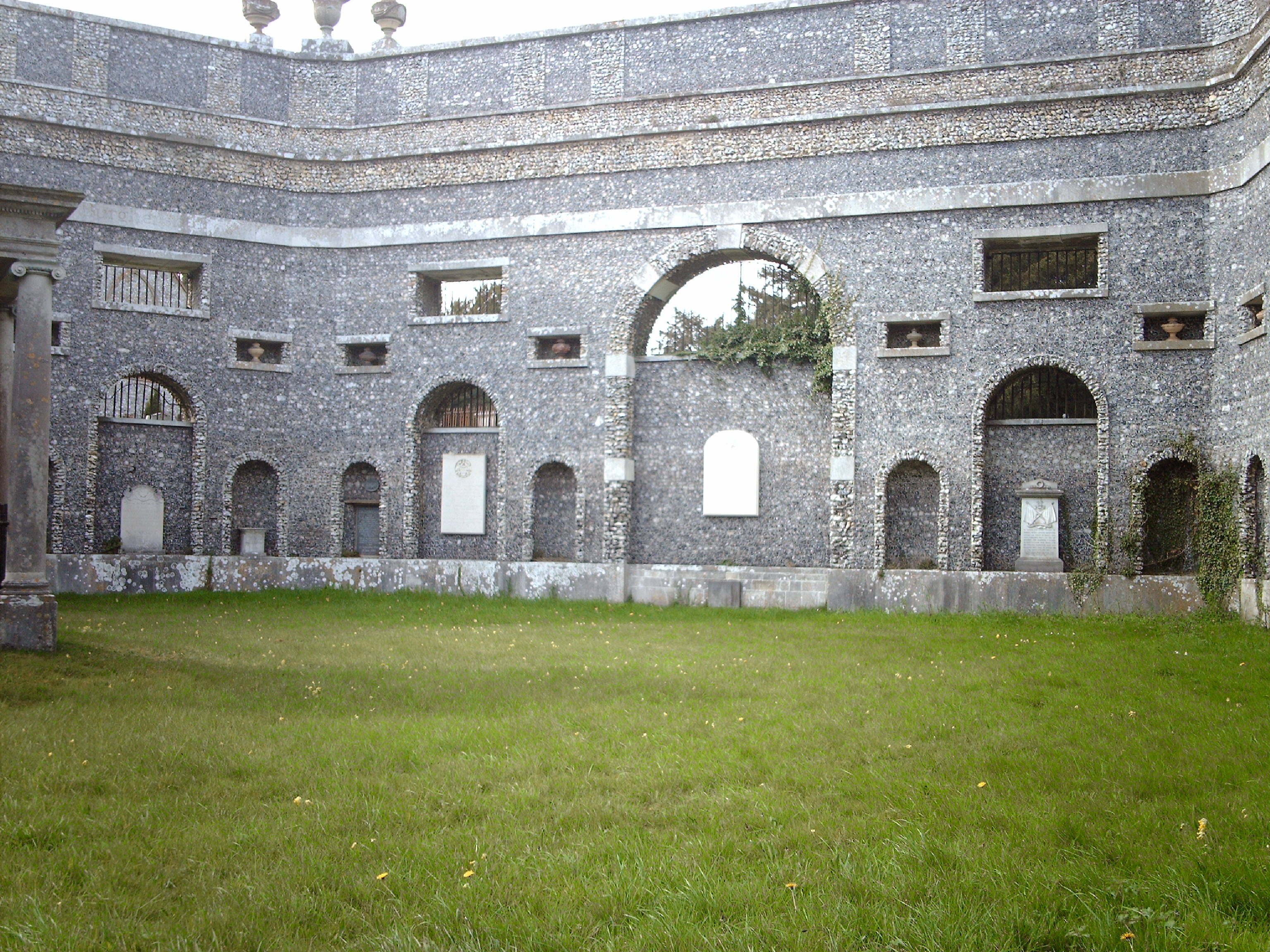
Mausoleum |
Class31 |
Monday 1st of July 2013 09:56:43 AM |
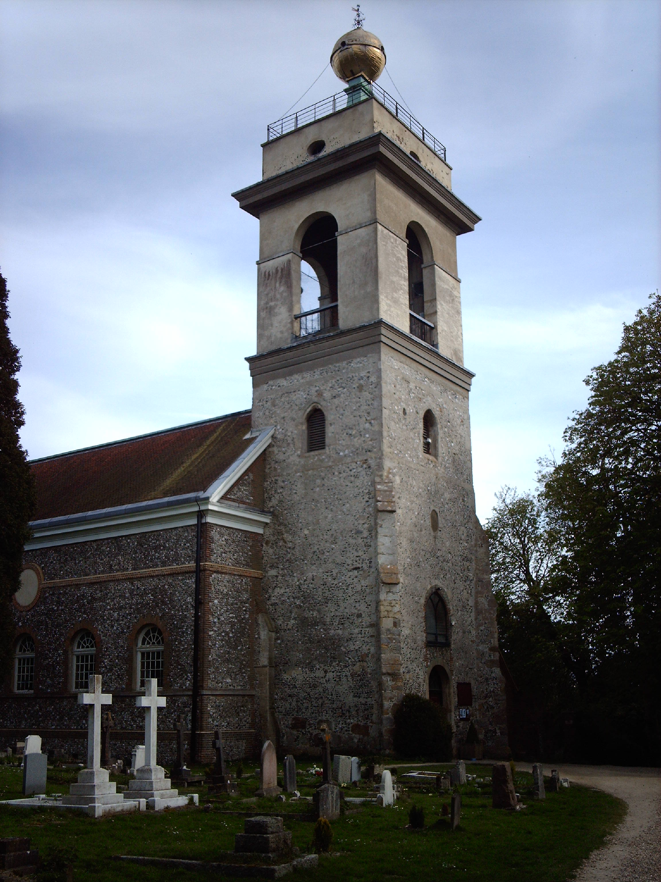
St. Lawrence's Church |
Class31 |
Thursday 13th of June 2013 04:00:47 PM |