
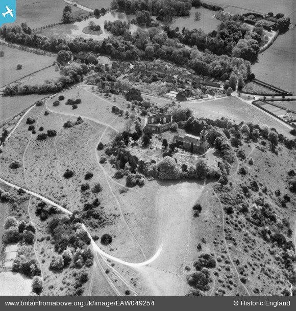
EAW049254 ENGLAND (1953). St Lawrence's Church and the Mausoleum, West Wycombe, 1953
© Copyright OpenStreetMap contributors and licensed by the OpenStreetMap Foundation. 2025. Cartography is licensed as CC BY-SA.
Nearby Images (6)
EAW049254

EAW049252

EPW017824

EAW015435

EAW049251

EAW049253

Details
| Title | [EAW049254] St Lawrence's Church and the Mausoleum, West Wycombe, 1953 |
| Reference | EAW049254 |
| Date | 12-May-1953 |
| Link | |
| Place name | WEST WYCOMBE |
| Parish | WEST WYCOMBE |
| District | |
| Country | ENGLAND |
| Easting / Northing | 482789, 194984 |
| Longitude / Latitude | -0.8033034984726, 51.647083541632 |
| National Grid Reference | SU828950 |
Pins
Be the first to add a comment to this image!
User Comment Contributions
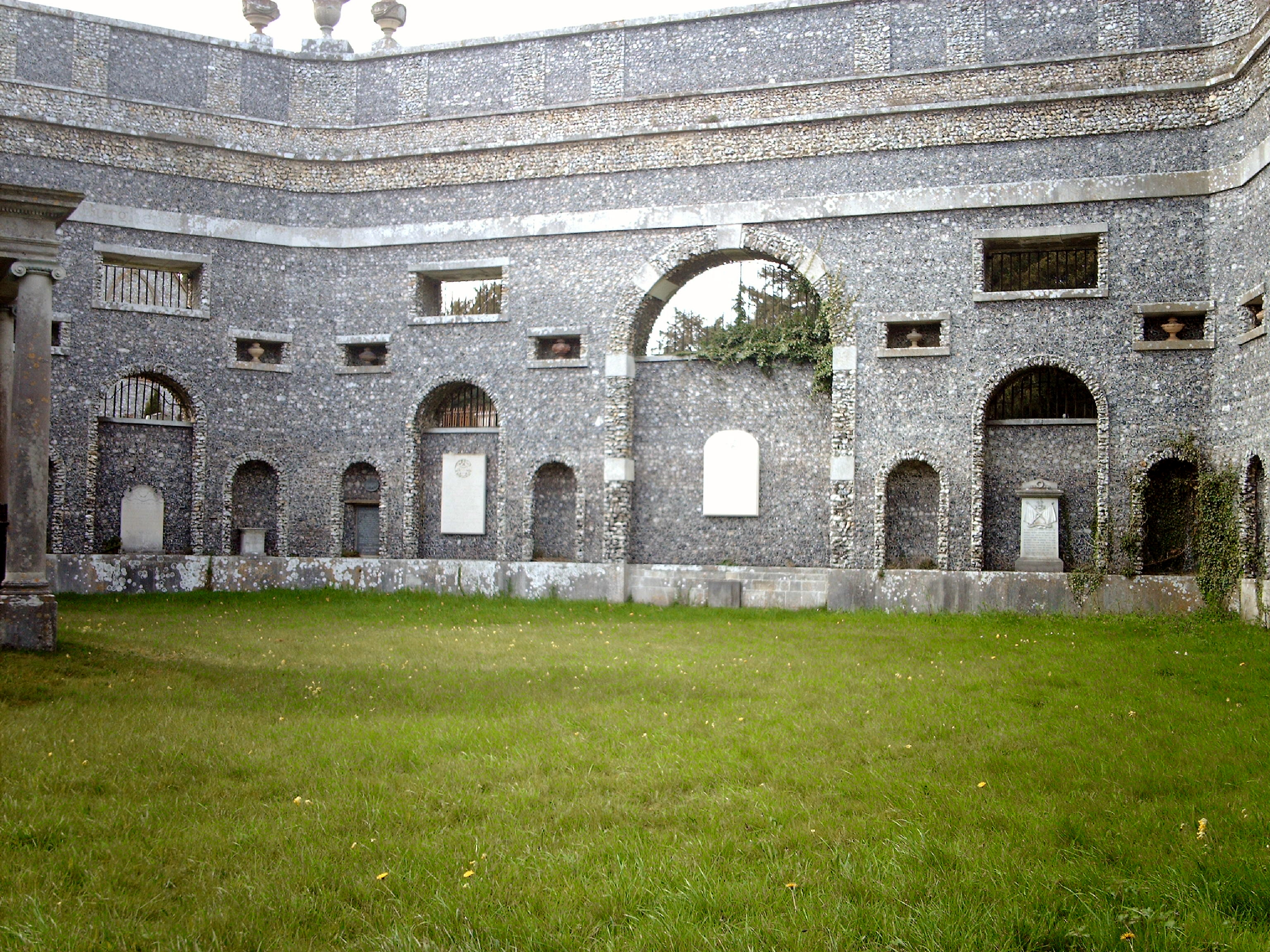
Mausoleum, 26/04/2008 |

Class31 |
Wednesday 20th of August 2014 11:42:19 AM |