
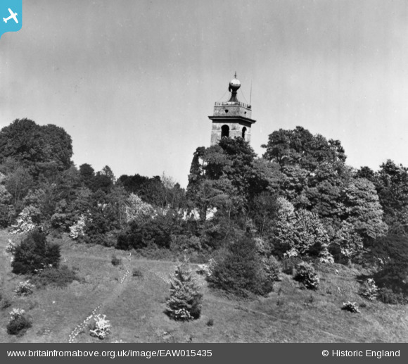
EAW015435 ENGLAND (1948). The tower of St Lawrence's Church, West Wycombe, 1948. This image has been produced from a print.
© Copyright OpenStreetMap contributors and licensed by the OpenStreetMap Foundation. 2025. Cartography is licensed as CC BY-SA.
Nearby Images (7)
EAW015435

EAW049251

EPW017824

EAW049252

EAW049253

EAW049254

EAW049250

Details
| Title | [EAW015435] The tower of St Lawrence's Church, West Wycombe, 1948. This image has been produced from a print. |
| Reference | EAW015435 |
| Date | 13-May-1948 |
| Link | |
| Place name | WEST WYCOMBE |
| Parish | WEST WYCOMBE |
| District | |
| Country | ENGLAND |
| Easting / Northing | 482725, 194962 |
| Longitude / Latitude | -0.80423359117338, 51.646895176518 |
| National Grid Reference | SU827950 |
Pins
Be the first to add a comment to this image!