
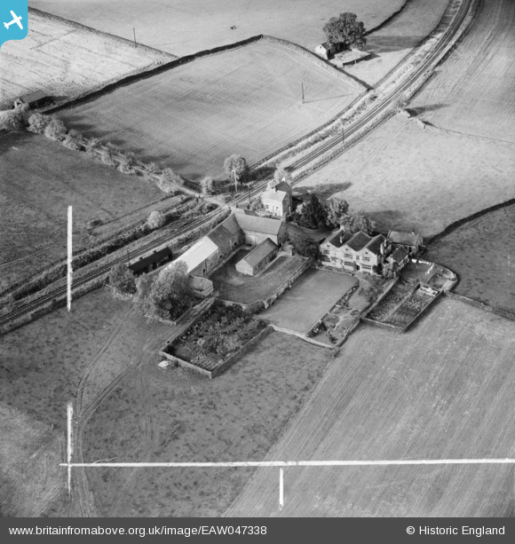
eaw047338 ENGLAND (1952). Low Hall, Dacre Banks, 1952. This image was marked by Aerofilms Ltd for photo editing.
© Copyright OpenStreetMap contributors and licensed by the OpenStreetMap Foundation. 2026. Cartography is licensed as CC BY-SA.
Nearby Images (5)
EAW047338

EAW047340

EAW047336

EAW047337

EAW047339

Details
| Title | [EAW047338] Low Hall, Dacre Banks, 1952. This image was marked by Aerofilms Ltd for photo editing. |
| Reference | EAW047338 |
| Date | 17-September-1952 |
| Link | |
| Place name | DACRE BANKS |
| Parish | DACRE |
| District | |
| Country | ENGLAND |
| Easting / Northing | 419865, 461278 |
| Longitude / Latitude | -1.6965759309356, 54.046900399806 |
| National Grid Reference | SE199613 |
Pins

John Wass |
Monday 6th of April 2015 08:45:56 PM | |
The branch came off the Harrogate-Northallerton (the "Leeds Northern Railway") at Ripley Junction and was built by the North-Eastern Railway (NER). It opened in 1862, closed to passengers in 1951 and completely in 1964. The Pateley Bridge-Lofthouse-Angram/Scarhouse reservoir line was a completely separate undertaking as the "Nidd Valley Light Railway" by Bradford Corporation to assist with the construction of those reservoirs. Remarkably the Corporation ran a public service from Pateley Bridge to Lofthouse from 1907 until the end of 1929. There were no through passenger trains from the NER onto the Light Railway, only goods were carried over the link between the two. Passenger trains travelled beyond Lofthouse to the reservoir sites but only for the dam construction workers and their families. |
John W |
Thursday 28th of November 2019 10:08:08 PM |