
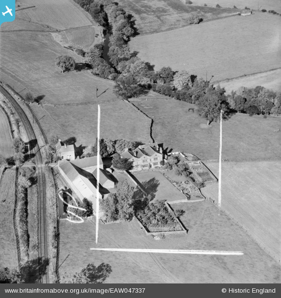
EAW047337 ENGLAND (1952). Low Hall, Dacre Banks, 1952. This image was marked by Aerofilms Ltd for photo editing.
© Copyright OpenStreetMap contributors and licensed by the OpenStreetMap Foundation. 2026. Cartography is licensed as CC BY-SA.
Nearby Images (5)
EAW047337

EAW047340

EAW047336

EAW047338

EAW047339

Details
| Title | [EAW047337] Low Hall, Dacre Banks, 1952. This image was marked by Aerofilms Ltd for photo editing. |
| Reference | EAW047337 |
| Date | 17-September-1952 |
| Link | |
| Place name | DACRE BANKS |
| Parish | DACRE |
| District | |
| Country | ENGLAND |
| Easting / Northing | 419893, 461320 |
| Longitude / Latitude | -1.6961455030056, 54.047276837651 |
| National Grid Reference | SE199613 |
Pins

John W |
Thursday 28th of November 2019 09:54:51 PM | |
|
John W |
Thursday 28th of November 2019 09:53:51 PM |