
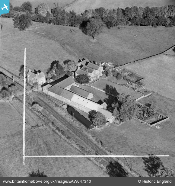
EAW047340 ENGLAND (1952). Low Hall, Dacre Banks, 1952. This image was marked by Aerofilms Ltd for photo editing.
© Copyright OpenStreetMap contributors and licensed by the OpenStreetMap Foundation. 2026. Cartography is licensed as CC BY-SA.
Nearby Images (5)
EAW047340

EAW047338

EAW047336

EAW047337

EAW047339

Details
| Title | [EAW047340] Low Hall, Dacre Banks, 1952. This image was marked by Aerofilms Ltd for photo editing. |
| Reference | EAW047340 |
| Date | 17-September-1952 |
| Link | |
| Place name | DACRE BANKS |
| Parish | DACRE |
| District | |
| Country | ENGLAND |
| Easting / Northing | 419874, 461284 |
| Longitude / Latitude | -1.6964380712677, 54.046953984008 |
| National Grid Reference | SE199613 |
Pins

John Wass |
Monday 6th of April 2015 08:47:25 PM |