
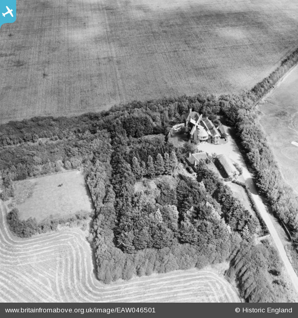
eaw046501 ENGLAND (1952). Climping Windmill at The Mill, Climping, 1952
© Copyright OpenStreetMap contributors and licensed by the OpenStreetMap Foundation. 2026. Cartography is licensed as CC BY-SA.
Nearby Images (7)
EAW046501

EAW046502

EPW062500

EAW046500

EPW062501

EPW062502

EPW062499

Details
| Title | [EAW046501] Climping Windmill at The Mill, Climping, 1952 |
| Reference | EAW046501 |
| Date | 28-August-1952 |
| Link | |
| Place name | CLIMPING |
| Parish | CLIMPING |
| District | |
| Country | ENGLAND |
| Easting / Northing | 501542, 101225 |
| Longitude / Latitude | -0.55888910097645, 50.801112475204 |
| National Grid Reference | TQ015012 |
Pins
Be the first to add a comment to this image!