
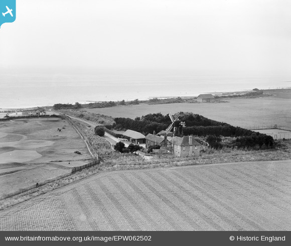
EPW062502 ENGLAND (1939). The Mill House Windmill, Climping, from the north-east, 1939
© Copyright OpenStreetMap contributors and licensed by the OpenStreetMap Foundation. 2026. Cartography is licensed as CC BY-SA.
Nearby Images (7)
EPW062502

EPW062501

EPW062499

EAW046500

EPW062500

EAW046502

EAW046501

Details
| Title | [EPW062502] The Mill House Windmill, Climping, from the north-east, 1939 |
| Reference | EPW062502 |
| Date | 13-August-1939 |
| Link | |
| Place name | CLIMPING |
| Parish | CLIMPING |
| District | |
| Country | ENGLAND |
| Easting / Northing | 501611, 101240 |
| Longitude / Latitude | -0.55790601400667, 50.801235237564 |
| National Grid Reference | TQ016012 |
Pins

totoro |
Monday 9th of September 2013 10:05:11 PM | |
|
totoro |
Monday 9th of September 2013 10:04:40 PM | |
|
totoro |
Monday 9th of September 2013 10:02:17 PM | |
|
totoro |
Monday 9th of September 2013 10:01:04 PM |
User Comment Contributions
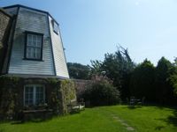
The short mill today |
totoro |
Monday 9th of September 2013 10:05:48 PM |