
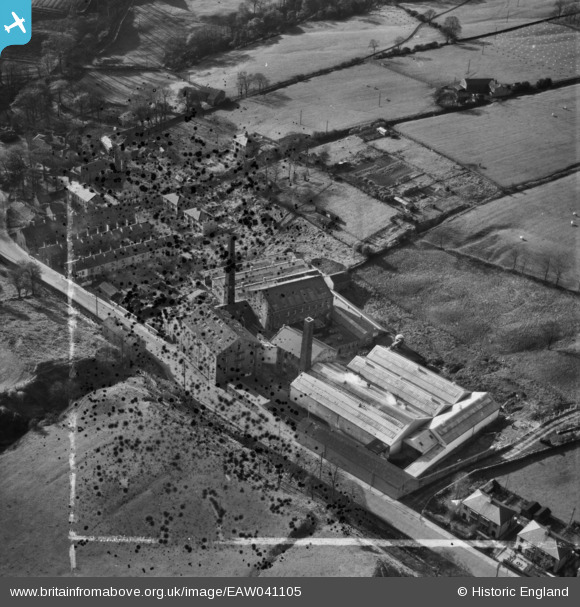
eaw041105 ENGLAND (1951). Broad Clough Cotton Mill, Bacup, 1951. This image has been produced from a damaged negative.
© Copyright OpenStreetMap contributors and licensed by the OpenStreetMap Foundation. 2024. Cartography is licensed as CC BY-SA.
Nearby Images (16)
EAW041105

EAW041110

EAW041107

EAW028432

EAW028429

EAW028430

EAW041113

EAW041106

EAW028434

EAW028433

EAW041108

EAW028428

EAW028431

EAW041109

EAW041111

EAW041112

Details
| Title | [EAW041105] Broad Clough Cotton Mill, Bacup, 1951. This image has been produced from a damaged negative. |
| Reference | EAW041105 |
| Date | 31-October-1951 |
| Link | |
| Place name | BACUP |
| Parish | |
| District | |
| Country | ENGLAND |
| Easting / Northing | 386707, 424098 |
| Longitude / Latitude | -2.2014294559197, 53.712906907113 |
| National Grid Reference | SD867241 |
Pins
 Class31 |
Monday 1st of September 2014 09:05:27 AM |
User Comment Contributions
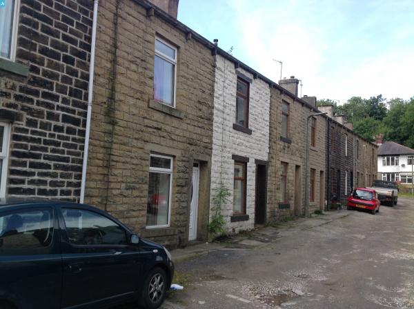
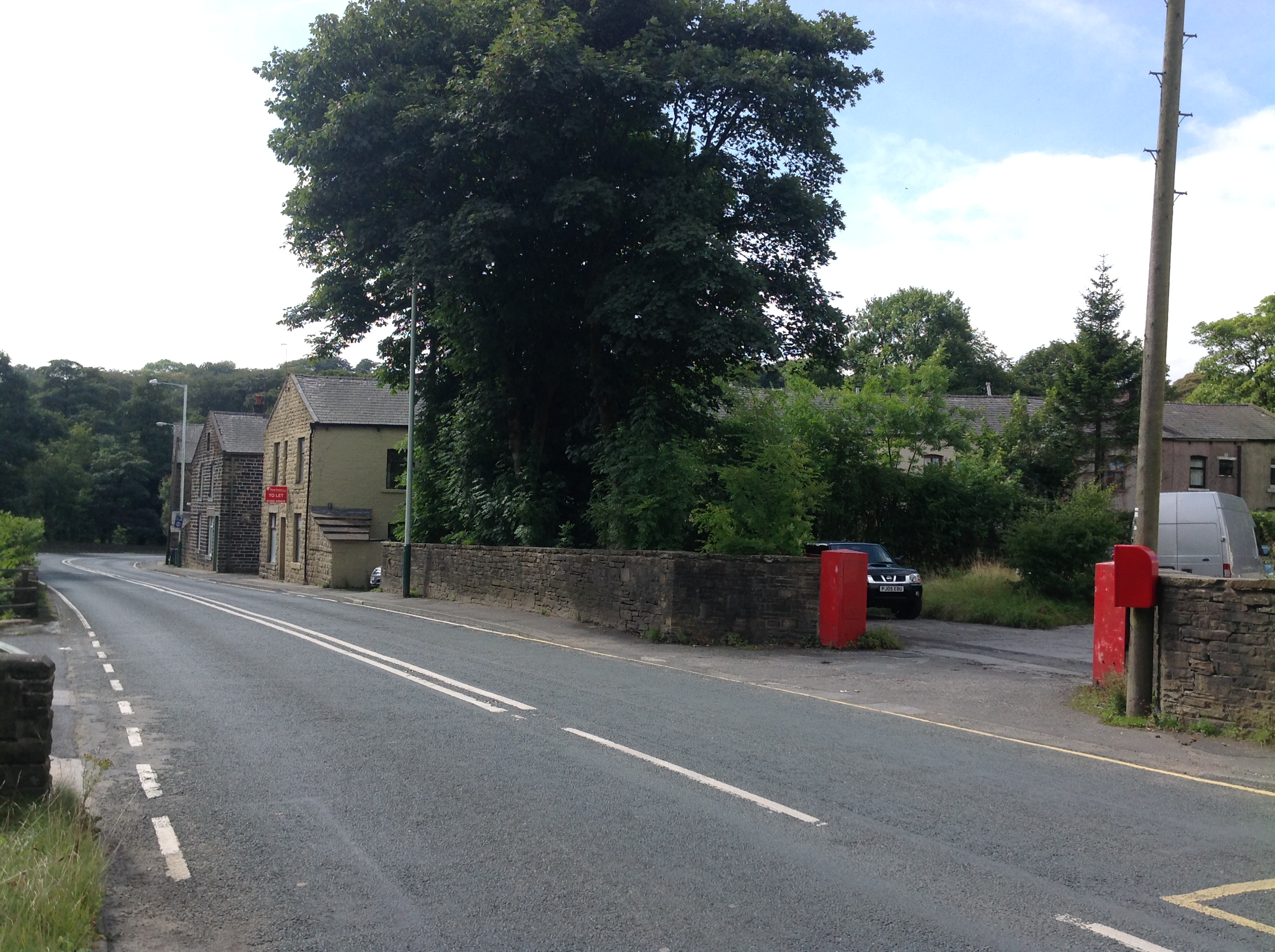
 Riley Street, Bacup, 27/08/2014 |
Class31 |
Monday 1st of September 2014 09:14:39 AM |
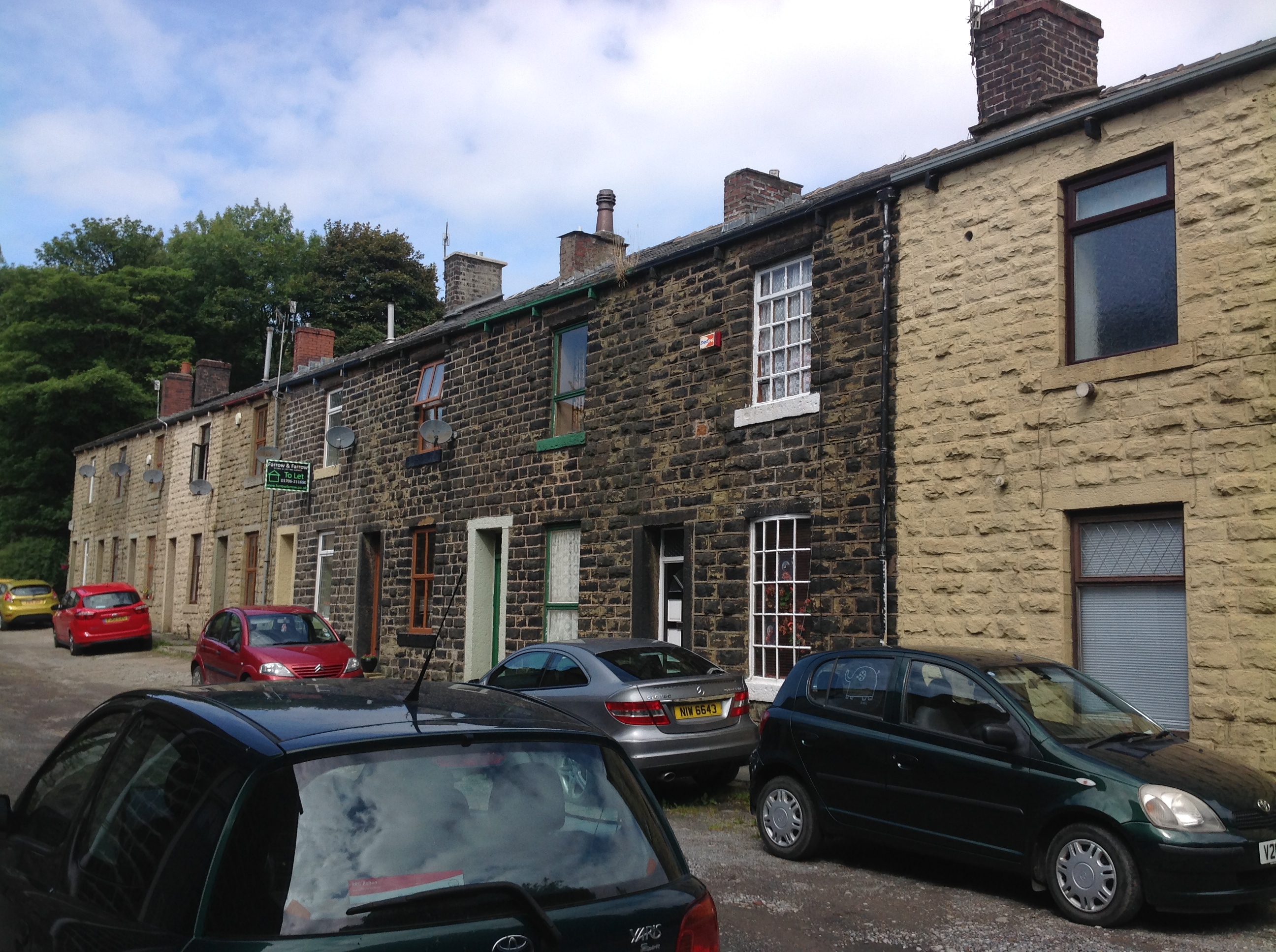
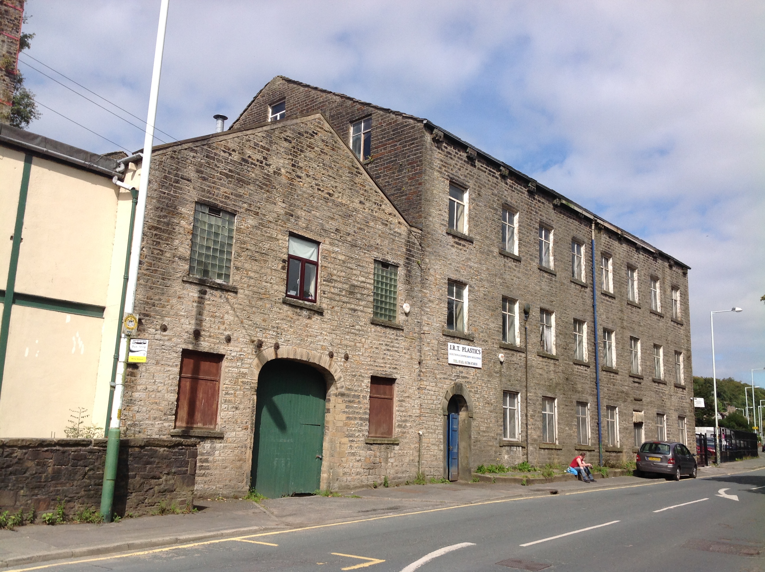
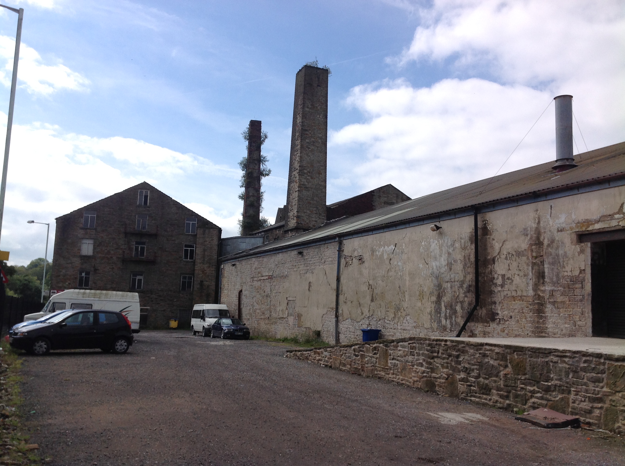
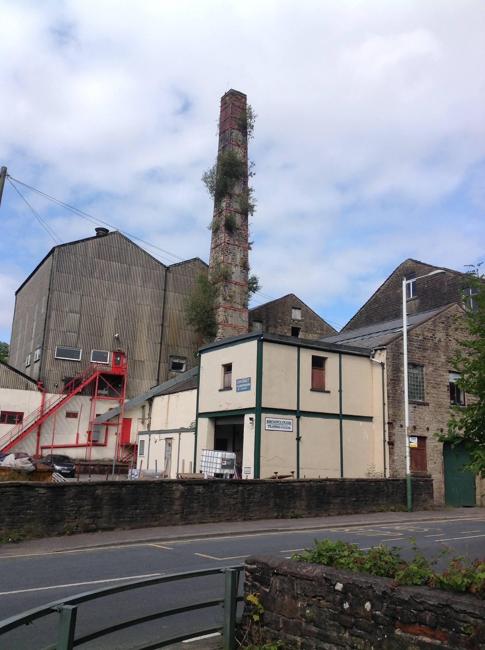 Broad Clough Cotton Mill, Bacup, 27/08/2014 |
Class31 |
Monday 1st of September 2014 09:12:33 AM |
 Broad Clough Cotton Mill, Bacup, 27/08/2014 |
Class31 |
Monday 1st of September 2014 09:11:08 AM |
 Broad Clough Cotton Mill, Bacup, 27/08/2014 |
Class31 |
Monday 1st of September 2014 09:10:08 AM |
 Broad Clough Cotton Mill, Bacup, 27/08/2014 |
Class31 |
Monday 1st of September 2014 09:09:23 AM |
 Broad Clough Cotton Mill, Bacup, 27/08/2014 |
Class31 |
Monday 1st of September 2014 09:08:23 AM |