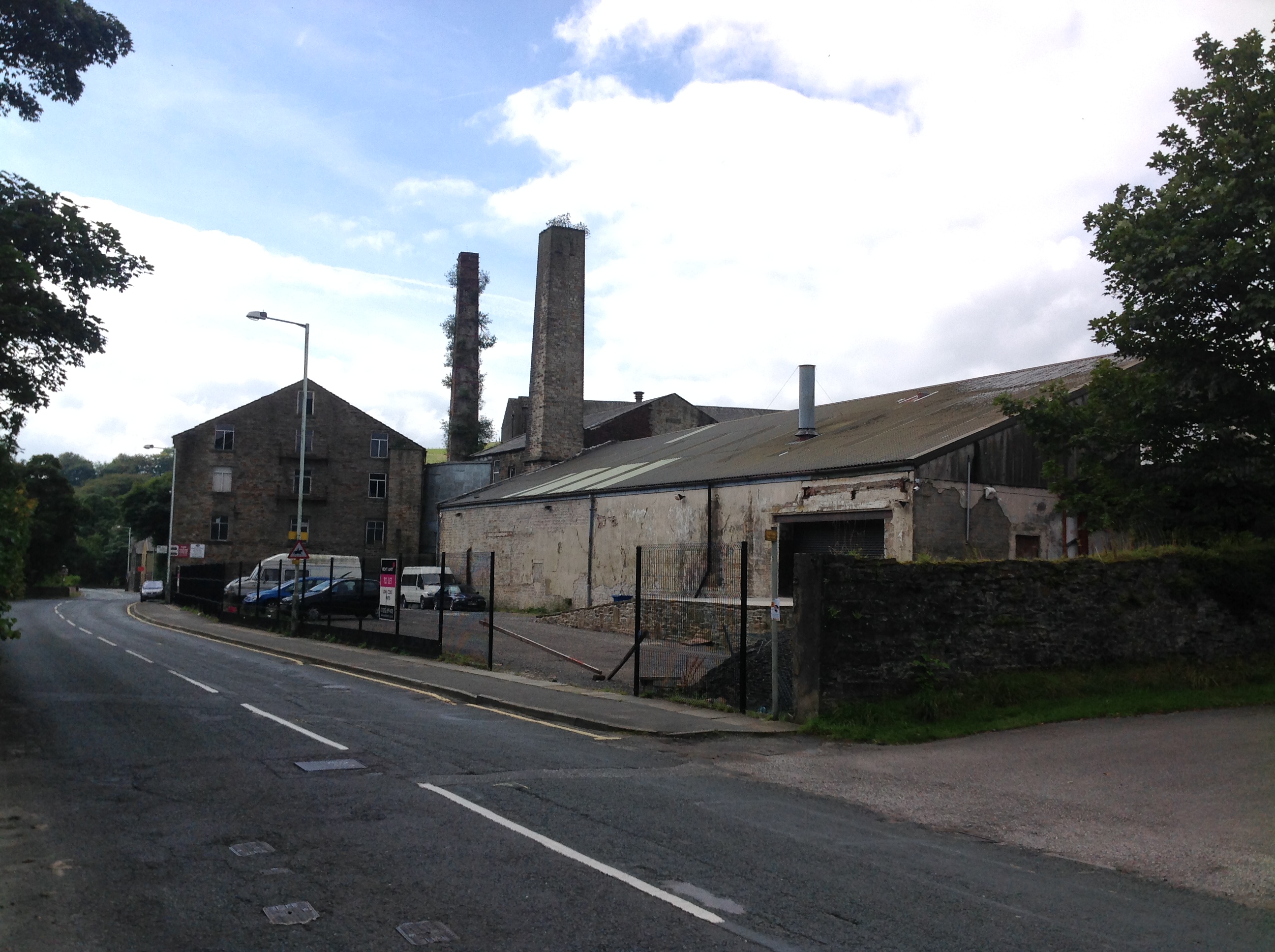
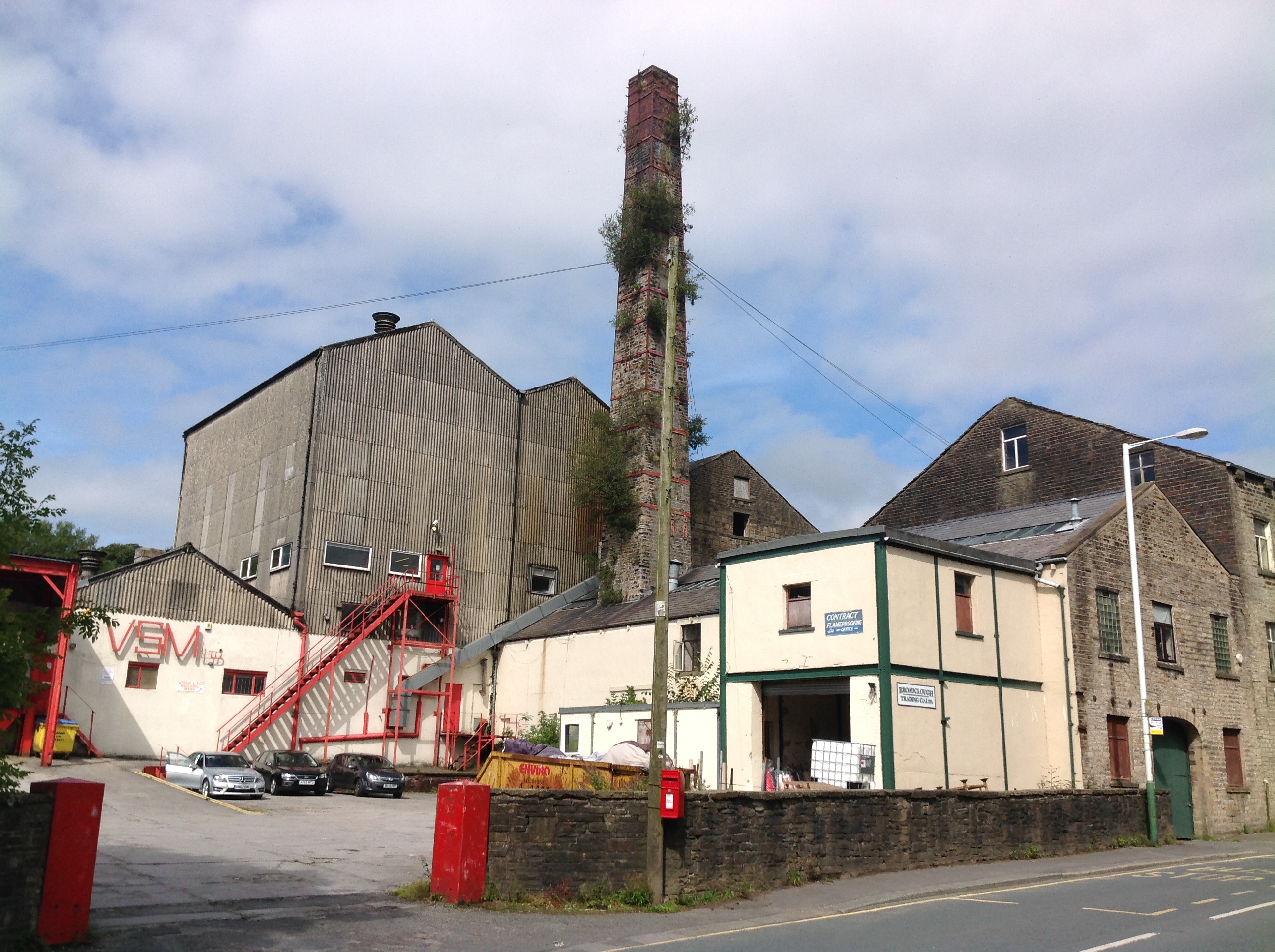
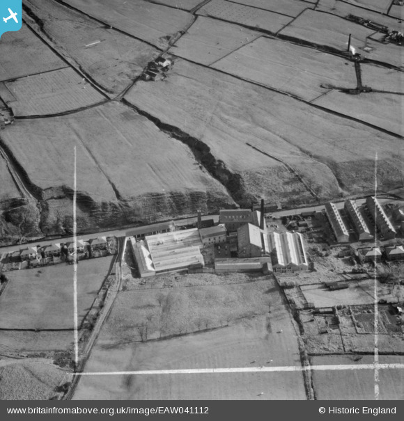
EAW041112 ENGLAND (1951). Broad Clough Cotton Mill, Bacup, 1951. This image was marked by Aerofilms Ltd for photo editing.
© Copyright OpenStreetMap contributors and licensed by the OpenStreetMap Foundation. 2026. Cartography is licensed as CC BY-SA.
Nearby Images (16)
EAW041112

EAW028431

EAW041111

EAW028430

EAW028429

EAW028434

EAW028433

EAW041107

EAW041110

EAW028432

EAW041105

EAW041106

EAW041113

EAW041108

EAW028428

EAW041109

Details
| Title | [EAW041112] Broad Clough Cotton Mill, Bacup, 1951. This image was marked by Aerofilms Ltd for photo editing. |
| Reference | EAW041112 |
| Date | 31-October-1951 |
| Link | |
| Place name | BACUP |
| Parish | |
| District | |
| Country | ENGLAND |
| Easting / Northing | 386784, 424093 |
| Longitude / Latitude | -2.2002624656949, 53.712863917449 |
| National Grid Reference | SD868241 |
Pins

Class31 |
Monday 1st of September 2014 11:05:47 AM |