
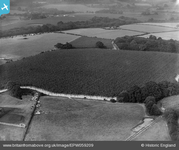
EPW059209 ENGLAND (1938). Hop fields adjacent to Gill Wood, Bodiam, 1938
© Copyright OpenStreetMap contributors and licensed by the OpenStreetMap Foundation. 2026. Cartography is licensed as CC BY-SA.
Nearby Images (6)
EPW059209

EPW059207

EPW059251

EPW059583

EPW059574

EPW059564

Details
| Title | [EPW059209] Hop fields adjacent to Gill Wood, Bodiam, 1938 |
| Reference | EPW059209 |
| Date | 11-September-1938 |
| Link | |
| Place name | BODIAM |
| Parish | BODIAM |
| District | |
| Country | ENGLAND |
| Easting / Northing | 577298, 126468 |
| Longitude / Latitude | 0.52764565319691, 51.009689148485 |
| National Grid Reference | TQ773265 |
