
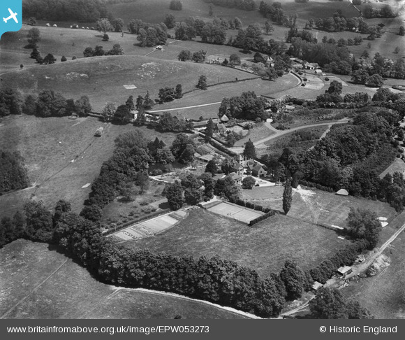
EPW053273 ENGLAND (1937). Kentwins and environs, South Nutfield, 1937
© Copyright OpenStreetMap contributors and licensed by the OpenStreetMap Foundation. 2025. Cartography is licensed as CC BY-SA.
Nearby Images (11)
EPW053273

EPW053272

EPW053266

EPW053267

EPW053271

EPW053276

EPW053275

EPW053269

EPW053270

EPW053268

EPW053274

Details
| Title | [EPW053273] Kentwins and environs, South Nutfield, 1937 |
| Reference | EPW053273 |
| Date | 27-May-1937 |
| Link | |
| Place name | SOUTH NUTFIELD |
| Parish | NUTFIELD |
| District | |
| Country | ENGLAND |
| Easting / Northing | 531147, 149822 |
| Longitude / Latitude | -0.1213649528278, 51.231979852164 |
| National Grid Reference | TQ311498 |
Pins
Be the first to add a comment to this image!