
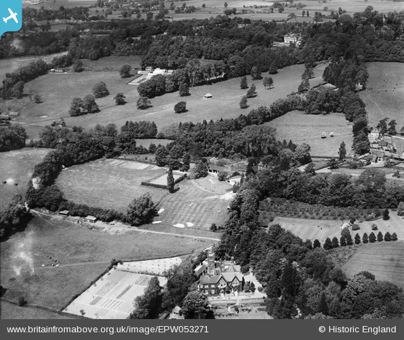
EPW053271 ENGLAND (1937). Kentwins, Lyttel Hall and environs, South Nutfield, 1937
© Copyright OpenStreetMap contributors and licensed by the OpenStreetMap Foundation. 2026. Cartography is licensed as CC BY-SA.
Nearby Images (9)
EPW053271

EPW053276

EPW053275

EPW053267

EPW053272

EPW053266

EPW053273

EPW053270

EPW053269

Details
| Title | [EPW053271] Kentwins, Lyttel Hall and environs, South Nutfield, 1937 |
| Reference | EPW053271 |
| Date | 27-May-1937 |
| Link | |
| Place name | SOUTH NUTFIELD |
| Parish | NUTFIELD |
| District | |
| Country | ENGLAND |
| Easting / Northing | 531078, 149785 |
| Longitude / Latitude | -0.12236632377114, 51.231663149157 |
| National Grid Reference | TQ311498 |
Pins

Derek |
Saturday 29th of November 2014 06:02:38 AM |