
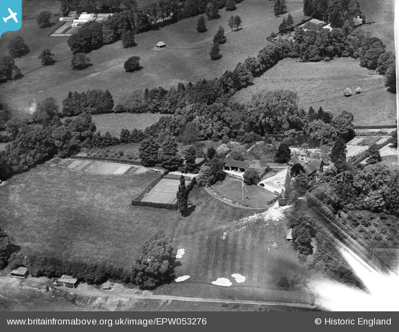
EPW053276 ENGLAND (1937). Kentwins, South Nutfield, 1937
© Copyright OpenStreetMap contributors and licensed by the OpenStreetMap Foundation. 2026. Cartography is licensed as CC BY-SA.
Nearby Images (9)
EPW053276

EPW053271

EPW053275

EPW053267

EPW053266

EPW053272

EPW053273

EPW053270

EPW053269

Details
| Title | [EPW053276] Kentwins, South Nutfield, 1937 |
| Reference | EPW053276 |
| Date | 27-May-1937 |
| Link | |
| Place name | SOUTH NUTFIELD |
| Parish | NUTFIELD |
| District | |
| Country | ENGLAND |
| Easting / Northing | 531078, 149781 |
| Longitude / Latitude | -0.12236778747535, 51.231627196812 |
| National Grid Reference | TQ311498 |
Pins
Be the first to add a comment to this image!