
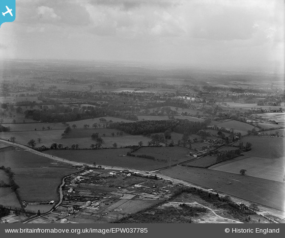
EPW037785 ENGLAND (1932). St Albans Road, Garston Manor and surrounding countryside, Abbots Langley, from the north-east, 1932
© Copyright OpenStreetMap contributors and licensed by the OpenStreetMap Foundation. 2025. Cartography is licensed as CC BY-SA.
Nearby Images (5)
EPW037785

EPW037552

EPW037553

EPW037789

EPW037786

Details
| Title | [EPW037785] St Albans Road, Garston Manor and surrounding countryside, Abbots Langley, from the north-east, 1932 |
| Reference | EPW037785 |
| Date | May-1932 |
| Link | |
| Place name | ABBOTS LANGLEY |
| Parish | ABBOTS LANGLEY |
| District | |
| Country | ENGLAND |
| Easting / Northing | 511892, 202095 |
| Longitude / Latitude | -0.38050454192913, 51.705962898494 |
| National Grid Reference | TL119021 |
