
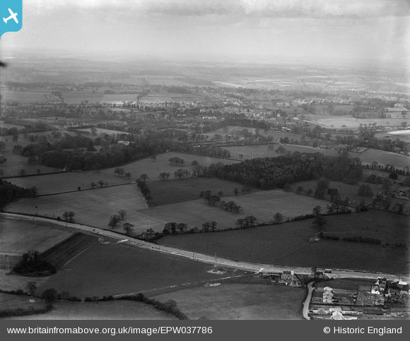
EPW037786 ENGLAND (1932). St Albans Road, Garston Manor and surrounding countryside, Abbots Langley, from the east, 1932
© Copyright OpenStreetMap contributors and licensed by the OpenStreetMap Foundation. 2025. Cartography is licensed as CC BY-SA.
Nearby Images (5)
EPW037786

EPW037789

EPW037553

EPW037552

EPW037785

Details
| Title | [EPW037786] St Albans Road, Garston Manor and surrounding countryside, Abbots Langley, from the east, 1932 |
| Reference | EPW037786 |
| Date | May-1932 |
| Link | |
| Place name | ABBOTS LANGLEY |
| Parish | ABBOTS LANGLEY |
| District | |
| Country | ENGLAND |
| Easting / Northing | 511861, 201894 |
| Longitude / Latitude | -0.38101754089282, 51.704162372374 |
| National Grid Reference | TL119019 |
Pins

Mrs |
Tuesday 9th of June 2020 03:30:03 PM |