
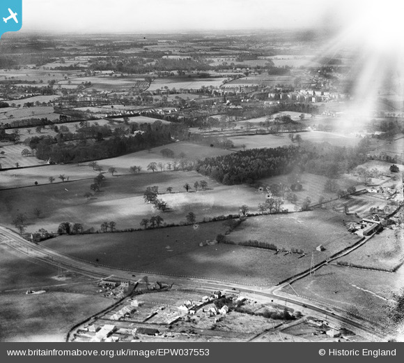
EPW037553 ENGLAND (1932). Countryside to the west of the newly constructed St Albans Road, Waterdale, from the north-east, 1932
© Copyright OpenStreetMap contributors and licensed by the OpenStreetMap Foundation. 2025. Cartography is licensed as CC BY-SA.
Nearby Images (5)
EPW037553

EPW037789

EPW037785

EPW037552

EPW037786

Details
| Title | [EPW037553] Countryside to the west of the newly constructed St Albans Road, Waterdale, from the north-east, 1932 |
| Reference | EPW037553 |
| Date | April-1932 |
| Link | |
| Place name | WATERDALE |
| Parish | ABBOTS LANGLEY |
| District | |
| Country | ENGLAND |
| Easting / Northing | 511824, 202010 |
| Longitude / Latitude | -0.38151560324045, 51.70521242633 |
| National Grid Reference | TL118020 |
Pins
Be the first to add a comment to this image!