
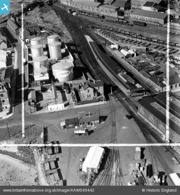
XAW040442 NORTHERN IRELAND (1951). General View, Larne, Larne, Northern Ireland, 1951. Oblique aerial photograph taken facing North. This image was marked by Aerofilms Ltd for photo editing.
© Copyright OpenStreetMap contributors and licensed by the OpenStreetMap Foundation. 2026. Cartography is licensed as CC BY-SA.
Nearby Images (6)
XAW040442

XAW040441

XAW033136

XAW040444

XAW040443

XAW040449

Details
| Title | [XAW040442] General View, Larne, Larne, Northern Ireland, 1951. Oblique aerial photograph taken facing North. This image was marked by Aerofilms Ltd for photo editing. |
| Reference | XAW040442 |
| Date | 28-September-1951 |
| Link | |
| Place name | LARNE |
| Parish | NORTHERN IRELAND |
| District | |
| Country | NORTHERN IRELAND |
| Easting / Northing | 156172, 556987 |
| Longitude / Latitude | -5.799695, 54.848137 |
| National Grid Reference |
Pins

Michael |
Wednesday 15th of September 2021 10:38:08 AM |