
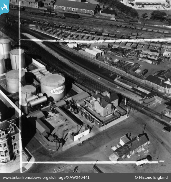
XAW040441 NORTHERN IRELAND (1951). Larne Harbour Ltd, Larne, Larne, Northern Ireland, 1951. Oblique aerial photograph taken facing North. This image was marked by Aerofilms Ltd for photo editing.
© Copyright OpenStreetMap contributors and licensed by the OpenStreetMap Foundation. 2026. Cartography is licensed as CC BY-SA.
Nearby Images (7)
XAW040441

XAW040442

XAW033136

XAW040444

XAW040443

XAW040449

XAW040448

Details
| Title | [XAW040441] Larne Harbour Ltd, Larne, Larne, Northern Ireland, 1951. Oblique aerial photograph taken facing North. This image was marked by Aerofilms Ltd for photo editing. |
| Reference | XAW040441 |
| Date | 28-September-1951 |
| Link | |
| Place name | LARNE |
| Parish | NORTHERN IRELAND |
| District | |
| Country | NORTHERN IRELAND |
| Easting / Northing | 156169, 556954 |
| Longitude / Latitude | -5.79972, 54.847839 |
| National Grid Reference |
Pins

Billy Turner |
Monday 3rd of October 2016 08:49:56 PM | |
|
Billy Turner |
Monday 3rd of October 2016 08:22:13 PM |

