
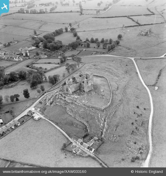
XAW033160 IRELAND (1950). Cashel Castle, Cashel, Tipperary, Ireland, 1950. Oblique aerial photograph taken facing South.
© Copyright OpenStreetMap contributors and licensed by the OpenStreetMap Foundation. 2026. Cartography is licensed as CC BY-SA.
Nearby Images (2)
XAW033160

XAW033158

Details
| Title | [XAW033160] Cashel Castle, Cashel, Tipperary, Ireland, 1950. Oblique aerial photograph taken facing South. |
| Reference | XAW033160 |
| Date | 1950 |
| Link | |
| Place name | CASHEL |
| Parish | IRELAND |
| District | |
| Country | IRELAND |
| Easting / Northing | 502, 307651 |
| Longitude / Latitude | -7.89168, 52.519777 |
| National Grid Reference |
Pins

MB |
Saturday 23rd of January 2021 07:47:29 PM |