
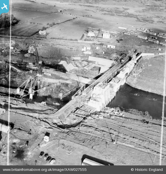
XAW027555 IRELAND (1949). Cementation Co. Works, Ballyshannon, Donegal, Ireland, 1949. Oblique aerial photograph taken facing North. This image was marked by Aerofilms Ltd for photo editing.
© Copyright OpenStreetMap contributors and licensed by the OpenStreetMap Foundation. 2026. Cartography is licensed as CC BY-SA.
Nearby Images (39)
XAW027555

XAW019084

XAW019042

XAW009856

XAW019081

XAW019071

XAW009857

XAW019088

XAW027558

XAW019062

XAW027545

XAW027548

XAW027549

XAW027540

XAW009863

XAW027551

XAW027547

XAW009861

XAW027542

XAW027546

XAW009862

XAW009867

XAW019069

XAW019059

XAW027543

XAW027557

XAW027556

XAW019063

XAW019086

XAW019041

XAW027544

XAW019070

XAW009855

XAW019031

XAW019066

XAW027554

XAW019061

XAW009858

XAW009854

Details
| Title | [XAW027555] Cementation Co. Works, Ballyshannon, Donegal, Ireland, 1949. Oblique aerial photograph taken facing North. This image was marked by Aerofilms Ltd for photo editing. |
| Reference | XAW027555 |
| Date | 2-November-1949 |
| Link | |
| Place name | BALLYSHANNON |
| Parish | IRELAND |
| District | |
| Country | IRELAND |
| Easting / Northing | 489, 529129 |
| Longitude / Latitude | -8.17409, 54.499471 |
| National Grid Reference |
Pins
Be the first to add a comment to this image!