
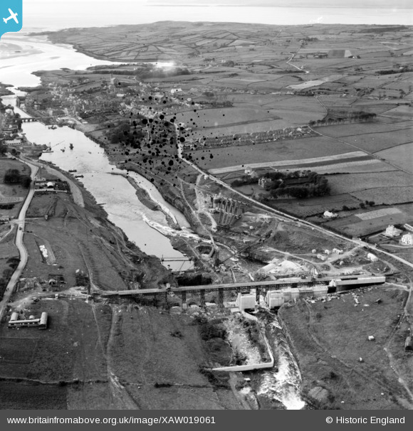
XAW019061 IRELAND (1948). Cementation Co. Works, Ballyshannon, Donegal, Ireland, 1948. Oblique aerial photograph taken facing North/West.
© Copyright OpenStreetMap contributors and licensed by the OpenStreetMap Foundation. 2026. Cartography is licensed as CC BY-SA.
Nearby Images (25)
XAW019061

XAW027554

XAW009855

XAW019051

XAW019070

XAW019031

XAW027556

XAW027557

XAW019041

XAW019086

XAW009867

XAW027542

XAW027549

XAW027548

XAW027547

XAW009861

XAW009857

XAW009862

XAW027551

XAW009856

XAW019069

XAW019077

XAW019084

XAW027555

XAW027543

Details
| Title | [XAW019061] Cementation Co. Works, Ballyshannon, Donegal, Ireland, 1948. Oblique aerial photograph taken facing North/West. |
| Reference | XAW019061 |
| Date | 20-September-1948 |
| Link | |
| Place name | BALLYSHANNON |
| Parish | IRELAND |
| District | |
| Country | IRELAND |
| Easting / Northing | 245, 529241 |
| Longitude / Latitude | -8.177982, 54.50028 |
| National Grid Reference |
Pins
Be the first to add a comment to this image!