
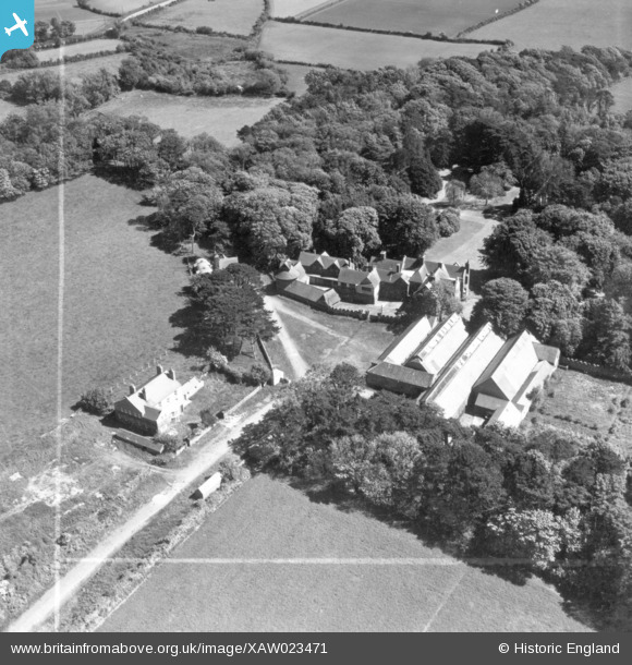
XAW023471 ISLE OF MAN (1949). Ballamoar Castle, Jurby, Isle of Man, Isle of Man, 1949. Oblique aerial photograph taken facing South/East. This image was marked by Aerofilms Ltd for photo editing.
© Copyright OpenStreetMap contributors and licensed by the OpenStreetMap Foundation. 2026. Cartography is licensed as CC BY-SA.
Nearby Images (14)
XAW023471

XAW023474DUP

XAW023474

XAW023471DUP

XAW023469DUP

XAW023469

XAW023473DUP

XAW023473

XAW023472

XAW023472DUP

XAW023468

XAW023468DUP

XAW023470

XAW023470DUP

Details
| Title | [XAW023471] Ballamoar Castle, Jurby, Isle of Man, Isle of Man, 1949. Oblique aerial photograph taken facing South/East. This image was marked by Aerofilms Ltd for photo editing. |
| Reference | XAW023471 |
| Date | 26-May-1949 |
| Link | |
| Place name | JURBY |
| Parish | ISLE OF MAN |
| District | |
| Country | ISLE OF MAN |
| Easting / Northing | 236851, 497921 |
| Longitude / Latitude | -4.511763, 54.35065 |
| National Grid Reference |
Pins
Be the first to add a comment to this image!