
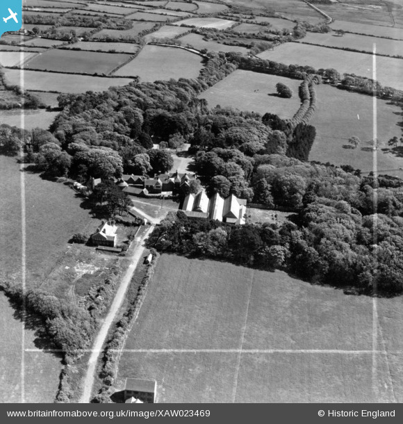
XAW023469 ISLE OF MAN (1949). Ballamoar Castle, Jurby, Isle of Man, Isle of Man, 1949. Oblique aerial photograph taken facing South. This image was marked by Aerofilms Ltd for photo editing.
© Copyright OpenStreetMap contributors and licensed by the OpenStreetMap Foundation. 2026. Cartography is licensed as CC BY-SA.
Nearby Images (14)
XAW023469

XAW023469DUP

XAW023471DUP

XAW023471

XAW023474DUP

XAW023474

XAW023473DUP

XAW023473

XAW023472

XAW023472DUP

XAW023468

XAW023468DUP

XAW023470

XAW023470DUP

Details
| Title | [XAW023469] Ballamoar Castle, Jurby, Isle of Man, Isle of Man, 1949. Oblique aerial photograph taken facing South. This image was marked by Aerofilms Ltd for photo editing. |
| Reference | XAW023469 |
| Date | 26-May-1949 |
| Link | |
| Place name | JURBY |
| Parish | ISLE OF MAN |
| District | |
| Country | ISLE OF MAN |
| Easting / Northing | 236825, 497937 |
| Longitude / Latitude | -4.512172, 54.350791 |
| National Grid Reference |
Pins
Be the first to add a comment to this image!