
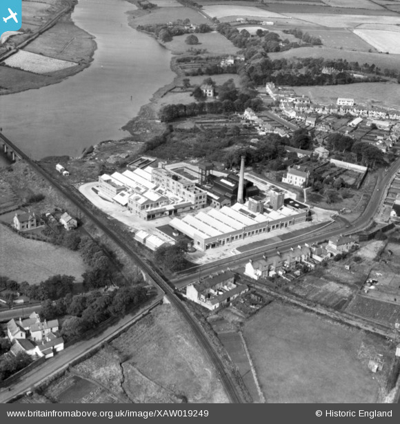
XAW019249 NORTHERN IRELAND (1948). Bengers Ltd, Coleraine, Coleraine, Northern Ireland, 1948. Oblique aerial photograph taken facing North/West.
© Copyright OpenStreetMap contributors and licensed by the OpenStreetMap Foundation. 2026. Cartography is licensed as CC BY-SA.
Nearby Images (5)
XAW019249

XAW019248

XAW019243

XAW019246

XAW019247

Details
| Title | [XAW019249] Bengers Ltd, Coleraine, Coleraine, Northern Ireland, 1948. Oblique aerial photograph taken facing North/West. |
| Reference | XAW019249 |
| Date | 25-September-1948 |
| Link | |
| Place name | COLERAINE |
| Parish | NORTHERN IRELAND |
| District | |
| Country | NORTHERN IRELAND |
| Easting / Northing | 102644, 592621 |
| Longitude / Latitude | -6.667722, 55.13839 |
| National Grid Reference |
Pins
Be the first to add a comment to this image!