
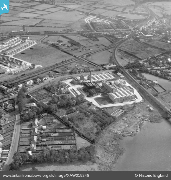
XAW019248 NORTHERN IRELAND (1948). Bengers Ltd, Coleraine, Coleraine, Northern Ireland, 1948. Oblique aerial photograph taken facing South/East.
© Copyright OpenStreetMap contributors and licensed by the OpenStreetMap Foundation. 2026. Cartography is licensed as CC BY-SA.
Nearby Images (6)
XAW019248

XAW019243

XAW019249

XAW019247

XAW019246

XAW019244

Details
| Title | [XAW019248] Bengers Ltd, Coleraine, Coleraine, Northern Ireland, 1948. Oblique aerial photograph taken facing South/East. |
| Reference | XAW019248 |
| Date | 25-September-1948 |
| Link | |
| Place name | COLERAINE |
| Parish | NORTHERN IRELAND |
| District | |
| Country | NORTHERN IRELAND |
| Easting / Northing | 102674, 592684 |
| Longitude / Latitude | -6.667315, 55.138976 |
| National Grid Reference |
Pins

rcurrie |
Monday 30th of December 2019 03:08:03 PM |