
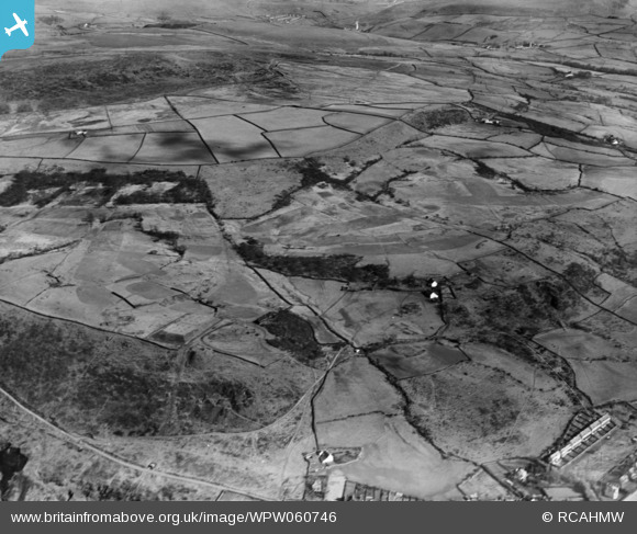
WPW060746 WALES (1939). View of landscape near Gwaelod-y-Garth, oblique aerial view. 5"x4" black and white glass plate negative.
© Copyright OpenStreetMap contributors and licensed by the OpenStreetMap Foundation. 2025. Cartography is licensed as CC BY-SA.
Nearby Images (6)
WPW060742

WPW060743

WPW060744

WPW060745

WPW060746

WPW060747

Details
| Title | [WPW060746] View of landscape near Gwaelod-y-Garth, oblique aerial view. 5"x4" black and white glass plate negative. |
| Reference | WPW060746 |
| Date | 1939 |
| Link | Coflein Archive Item 6370505 |
| Place name | |
| Parish | |
| District | |
| Country | WALES |
| Easting / Northing | 311560, 183990 |
| Longitude / Latitude | -3.2755870044834, 51.547385493184 |
| National Grid Reference | ST116840 |
Pins
 Class31 |
Tuesday 17th of July 2012 09:48:16 PM | |
Class31 |
Tuesday 17th of July 2012 09:47:16 PM | |
Class31 |
Tuesday 17th of July 2012 09:46:56 PM | |
Class31 |
Tuesday 17th of July 2012 09:46:01 PM | |
Class31 |
Tuesday 17th of July 2012 09:43:43 PM |
User Comment Contributions
Photo taken from above Pntypridd loking Suth East towards Abertridwr. Taken from Map Reference ST 07754 90785. The view is based n the reservoir on Pontypridd Golf Course. Pencoed Avenue is a useful identifier. The title will need to be changed. |
Class31 |
Tuesday 9th of October 2012 09:59:09 PM |
Above should read Pontypridd looking south east and not as shown. |
Class31 |
Tuesday 9th of October 2012 09:59:09 PM |
Please change the title as suggested in July. The present title is misleading. |
Class31 |
Tuesday 9th of October 2012 09:57:42 PM |