
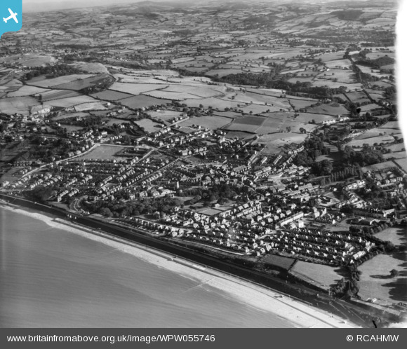
WPW055746 WALES (1937). General view of Colwyn Bay, oblique aerial view. 5"x4" black and white glass plate negative.
© Copyright OpenStreetMap contributors and licensed by the OpenStreetMap Foundation. 2026. Cartography is licensed as CC BY-SA.
Nearby Images (27)
WAW023343

WAW023344

WAW023345

WPW003057

WPW003071

WPW003072

WPW003074

WPW003075

WPW003076

WPW003078a

WPW003079

WPW003082

WPW040140

WPW040141

WPW040142

WPW040143

WPW045169

WPW045170

WPW045171

WPW045172

WPW045173

WPW051604

WPW051605

WPW051606

WPW055744

WPW055745

WPW055746

Details
| Title | [WPW055746] General view of Colwyn Bay, oblique aerial view. 5"x4" black and white glass plate negative. |
| Reference | WPW055746 |
| Date | 30-September-1937 |
| Link | Coflein Archive Item 6370412 |
| Place name | |
| Parish | |
| District | |
| Country | WALES |
| Easting / Northing | 285000, 378000 |
| Longitude / Latitude | -3.7252641295253, 53.286201383428 |
| National Grid Reference | SH850780 |
Pins

John Llewellyn |
Wednesday 13th of July 2016 01:32:14 PM | |
Sorry this is wrong. This is not the former Colwyn bay golf club. This is Old Colwyn Golf club still in use at 9 holes although historically there were more holes which can still be seen on the hills behind the third tee |
Roger Greenwood |
Friday 16th of December 2016 08:14:04 AM |
|
colwynboy |
Thursday 15th of November 2012 10:48:48 AM | |
|
colwynboy |
Wednesday 14th of November 2012 08:49:51 AM | |
|
colwynboy |
Wednesday 14th of November 2012 08:17:44 AM | |
|
colwynboy |
Wednesday 14th of November 2012 08:11:03 AM | |
|
colwynboy |
Wednesday 14th of November 2012 08:07:41 AM | |
|
longshot |
Friday 3rd of August 2012 11:08:25 PM | |
The White House, Station Road, Old Colwyn, designed in 1935 by architect William John Bowen for a dentist, Owen Reynolds. It was demolished in 2003. |
Hugh |
Saturday 4th of August 2012 01:54:21 PM |


User Comment Contributions
Are these aerial photos the only record of 'The White House'? |
longshot |
Saturday 4th of August 2012 07:51:58 PM |