
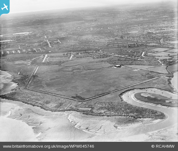
WPW045746 WALES (1934).
© Copyright OpenStreetMap contributors and licensed by the OpenStreetMap Foundation. 2026. Cartography is licensed as CC BY-SA.
Nearby Images (5)
WPW045746

WPW045747

WPW052627

WPW052640

WPW052642

Details
| Title | [WPW045746] |
| Reference | WPW045746 |
| Date | 1934 |
| Link | Coflein Archive Item 6369932 |
| Place name | |
| Parish | |
| District | |
| Country | WALES |
| Easting / Northing | 321500, 177000 |
| Longitude / Latitude | -3.1306951607918, 51.486011082353 |
| National Grid Reference | ST215770 |
Pins
Capt Vance F Burton |
Monday 8th of October 2012 09:37:11 PM | |
Capt Vance F Burton |
Monday 8th of October 2012 09:36:43 PM |