
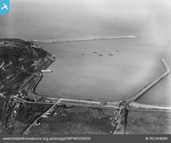
WPW029656 WALES (1929). View of Fishguard & Goodwick Harbour, oblique aerial view. 5"x4" black and white glass plate negative.
© Copyright OpenStreetMap contributors and licensed by the OpenStreetMap Foundation. 2026. Cartography is licensed as CC BY-SA.
Nearby Images (6)
WPW029654

WPW029655

WPW029656

WPW029657

WPW029658

WPW040071

Details
| Title | [WPW029656] View of Fishguard & Goodwick Harbour, oblique aerial view. 5"x4" black and white glass plate negative. |
| Reference | WPW029656 |
| Date | 1929 |
| Link | Coflein Archive Item 6370600 |
| Place name | |
| Parish | |
| District | |
| Country | WALES |
| Easting / Northing | 195140, 238750 |
| Longitude / Latitude | -4.985303134253, 52.008888390505 |
| National Grid Reference | SM951388 |
Pins

MB |
Friday 19th of October 2012 02:10:51 PM | |
|
MB |
Friday 19th of October 2012 02:08:30 PM | |
|
MB |
Friday 19th of October 2012 02:06:08 PM | |
|
MB |
Friday 19th of October 2012 02:05:29 PM | |
|
MB |
Friday 19th of October 2012 02:04:47 PM | |
|
MB |
Friday 19th of October 2012 02:04:17 PM | |
|
MB |
Friday 19th of October 2012 02:03:49 PM |