
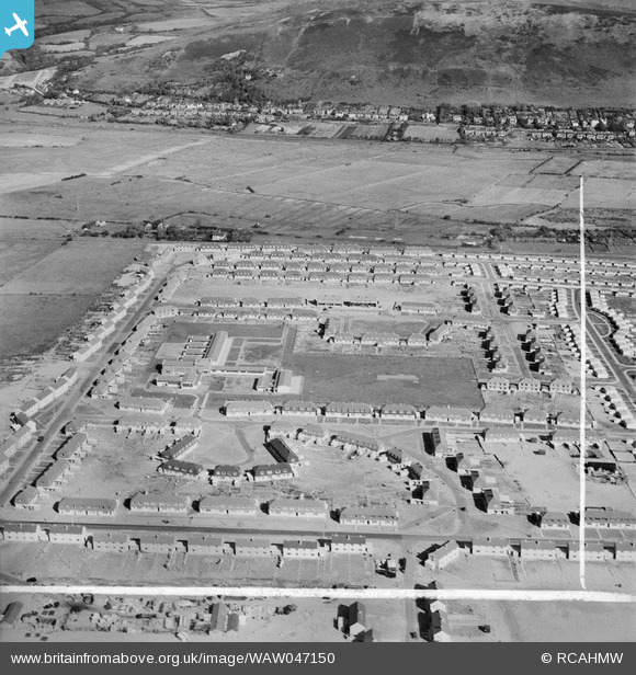
WAW047150 WALES (1952). View of newly-built housing at the Sandsfield Estate, Aberavon, showing the Comprehensive School
© Copyright OpenStreetMap contributors and licensed by the OpenStreetMap Foundation. 2025. Cartography is licensed as CC BY-SA.
Nearby Images (11)
WAW047150

WAW047151

WAW047152

WAW047153

WAW047154

WAW047155

WAW047156

WAW047157

WAW047158

WAW047159

WAW047160

Details
| Title | [WAW047150] View of newly-built housing at the Sandsfield Estate, Aberavon, showing the Comprehensive School |
| Reference | WAW047150 |
| Date | 1952 |
| Link | Coflein Archive Item 6414584 |
| Place name | |
| Parish | |
| District | |
| Country | WALES |
| Easting / Northing | 274070, 190850 |
| Longitude / Latitude | -3.8185228975281, 51.601920477344 |
| National Grid Reference | SS741909 |
Pins
Be the first to add a comment to this image!
User Comment Contributions
Sandfields, not Sandsfield ! |

gerry-r |
Friday 11th of July 2014 02:33:24 AM |