
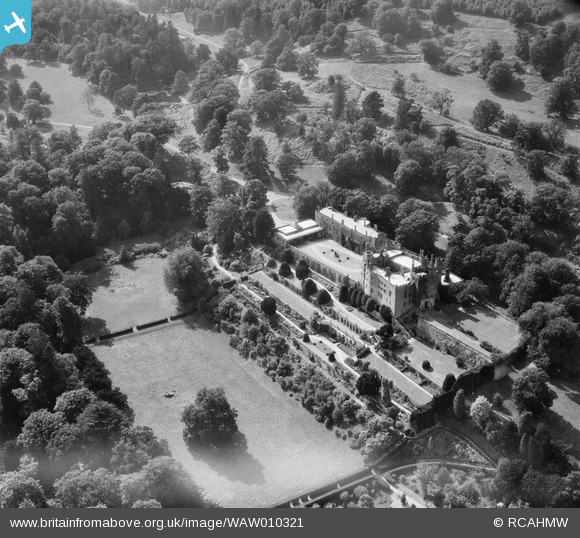
WAW010321 WALES (1947). View of Powis Castle
© Copyright OpenStreetMap contributors and licensed by the OpenStreetMap Foundation. 2026. Cartography is licensed as CC BY-SA.
Nearby Images (12)
WAW007989

WAW007990

WAW007991

WAW007992

WAW007993

WAW007994

WAW010321

WAW010322

WAW010324

WAW023768

WAW023771

WAW023772

Details
| Title | [WAW010321] View of Powis Castle |
| Reference | WAW010321 |
| Date | 25-August-1947 |
| Link | Coflein Archive Item 6413609 |
| Place name | |
| Parish | |
| District | |
| Country | WALES |
| Easting / Northing | 321581, 306455 |
| Longitude / Latitude | -3.1592831804335, 52.649802381848 |
| National Grid Reference | SJ216065 |
Pins
Be the first to add a comment to this image!