
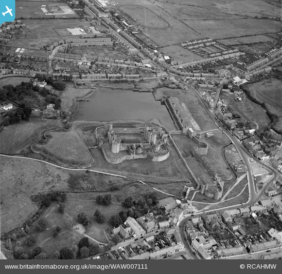
WAW007111 WALES (1947). View of Caerphilly showing castle and Virginia Park stadium
© Copyright OpenStreetMap contributors and licensed by the OpenStreetMap Foundation. 2025. Cartography is licensed as CC BY-SA.
Nearby Images (6)
WAW007108

WAW007109

WAW007110

WAW007111

WAW007112

WAW007113

Details
| Title | [WAW007111] View of Caerphilly showing castle and Virginia Park stadium |
| Reference | WAW007111 |
| Date | 11-June-1947 |
| Link | Coflein Archive Item 6413515 |
| Place name | |
| Parish | |
| District | |
| Country | WALES |
| Easting / Northing | 315000, 186000 |
| Longitude / Latitude | -3.2264697057673, 51.565984914921 |
| National Grid Reference | ST150860 |
Pins

gBr |
Saturday 6th of May 2017 09:46:56 PM |