
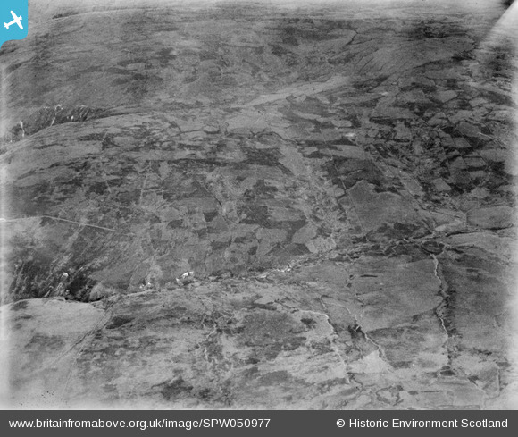
SPW050977 SCOTLAND (1936). Glenapp Estate, general view, showing Mark and March Burn. An oblique aerial photograph taken facing north-east.
© Copyright OpenStreetMap contributors and licensed by the OpenStreetMap Foundation. 2025. Cartography is licensed as CC BY-SA.
Nearby Images (2)
SPW050977

SPW050971

Details
| Title | [SPW050977] Glenapp Estate, general view, showing Mark and March Burn. An oblique aerial photograph taken facing north-east. |
| Reference | SPW050977 |
| Date | 1936 |
| Link | NRHE Collection item 1258044 |
| Place name | |
| Parish | BALLANTRAE (KYLE AND CARRICK) |
| District | KYLE AND CARRICK |
| Country | SCOTLAND |
| Easting / Northing | 207800, 574300 |
| Longitude / Latitude | -5.0073069858636, 55.025951999185 |
| National Grid Reference | NX078743 |
Pins

Class31 |
Monday 23rd of July 2012 12:51:43 PM | |
|
Class31 |
Wednesday 18th of July 2012 09:02:47 PM | |
|
Class31 |
Wednesday 18th of July 2012 09:01:37 PM | |
|
Class31 |
Wednesday 18th of July 2012 08:59:44 PM |
User Comment Contributions
Dear Class 31, Thanks for this; I have checked on the 1st edition Ordnance Survey, and the wall line between the gullys of the Drumahallan Burn and the Burn of the Dupin confirm your identification of this location. The revised record will appear here in due course. Brian Wilkinson Britain from Above Activity Officer (Scotland). |

Brian Wilkinson |
Friday 31st of August 2012 01:23:12 PM |
I think that this photo is slightly further East than it's title would suggest. I have put my interpretation of the features as flags. Most of this area is now covered in forestry. |
Class31 |
Wednesday 18th of July 2012 09:06:55 PM |