
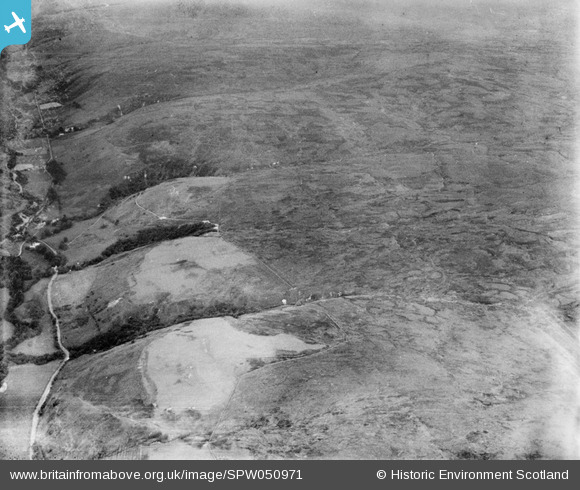
SPW050971 SCOTLAND (1936). Glenapp Estate, general view, showing Low Mark and Muillbane Hill. An oblique aerial photograph taken facing north-east.
© Copyright OpenStreetMap contributors and licensed by the OpenStreetMap Foundation. 2025. Cartography is licensed as CC BY-SA.
Nearby Images (2)
SPW050971

SPW050977

Details
| Title | [SPW050971] Glenapp Estate, general view, showing Low Mark and Muillbane Hill. An oblique aerial photograph taken facing north-east. |
| Reference | SPW050971 |
| Date | 1936 |
| Link | NRHE Collection item 1258038 |
| Place name | |
| Parish | BALLANTRAE (KYLE AND CARRICK) |
| District | KYLE AND CARRICK |
| Country | SCOTLAND |
| Easting / Northing | 207720, 574310 |
| Longitude / Latitude | -5.0085635317981, 55.026010832558 |
| National Grid Reference | NX077743 |
