
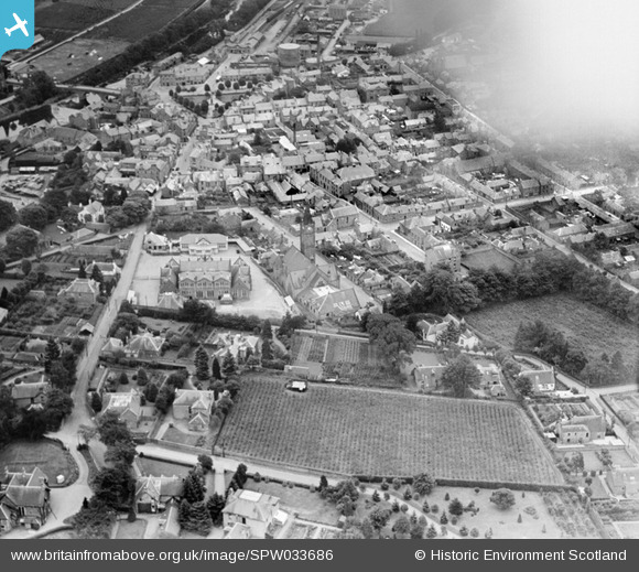
SPW033686 SCOTLAND (1930). Blairgowrie, general view, showing St Andrew's Church and Hill Primary School. An oblique aerial photograph taken facing south-east.
© Copyright OpenStreetMap contributors and licensed by the OpenStreetMap Foundation. 2026. Cartography is licensed as CC BY-SA.
Nearby Images (4)
SPW033686

SPW020128

SPW020129

SPW033685

Details
| Title | [SPW033686] Blairgowrie, general view, showing St Andrew's Church and Hill Primary School. An oblique aerial photograph taken facing south-east. |
| Reference | SPW033686 |
| Date | 1930 |
| Link | NRHE Collection item 1257035 |
| Place name | |
| Parish | BLAIRGOWRIE |
| District | PERTH AND KINROSS |
| Country | SCOTLAND |
| Easting / Northing | 317715, 745415 |
| Longitude / Latitude | -3.3401365680308, 56.59353167391 |
| National Grid Reference | NO177454 |
Pins
Be the first to add a comment to this image!