
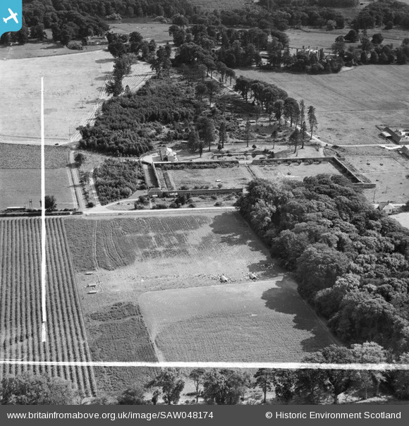
SAW048174 SCOTLAND (1953). Newbyth Farmhouse and Walled Garden, Whitekirk. An oblique aerial photograph taken facing south. This image has been produced from a crop marked negative.
© Copyright OpenStreetMap contributors and licensed by the OpenStreetMap Foundation. 2026. Cartography is licensed as CC BY-SA.
Nearby Images (7)
SAW048174

SAW048176

SAW048175

SAW048177

SAW048179

SAW048181

SAW048183

Details
| Title | [SAW048174] Newbyth Farmhouse and Walled Garden, Whitekirk. An oblique aerial photograph taken facing south. This image has been produced from a crop marked negative. |
| Reference | SAW048174 |
| Date | 1953 |
| Link | NRHE Collection item 1297844 |
| Place name | |
| Parish | WHITEKIRK AND TYNINGHAME |
| District | EAST LOTHIAN |
| Country | SCOTLAND |
| Easting / Northing | 358700, 680450 |
| Longitude / Latitude | -2.662530985984, 56.015240989577 |
| National Grid Reference | NT587805 |
Pins
Be the first to add a comment to this image!