
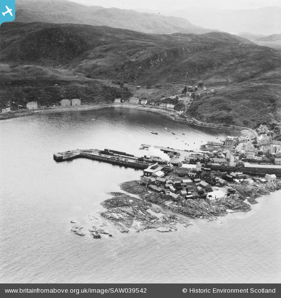
SAW039542 SCOTLAND (1951). Mallaig, general view, showing Mallaig Harbour. An oblique aerial photograph taken facing south-east. This image has been produced from a print.
© Copyright OpenStreetMap contributors and licensed by the OpenStreetMap Foundation. 2026. Cartography is licensed as CC BY-SA.
Nearby Images (3)
SAW039542

SAW039543

SAW039541

Details
| Title | [SAW039542] Mallaig, general view, showing Mallaig Harbour. An oblique aerial photograph taken facing south-east. This image has been produced from a print. |
| Reference | SAW039542 |
| Date | 1951 |
| Link | NRHE Collection item 1315315 |
| Place name | |
| Parish | GLENELG (LOCHABER) |
| District | LOCHABER |
| Country | SCOTLAND |
| Easting / Northing | 167740, 797150 |
| Longitude / Latitude | -5.8256001404075, 57.007101231466 |
| National Grid Reference | NM677972 |
Pins

RM |
Friday 12th of November 2021 01:04:22 AM |