
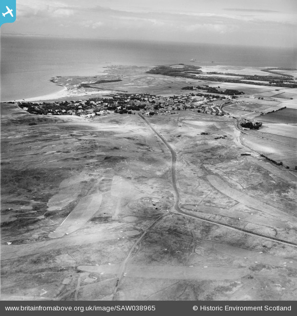
SAW038965 SCOTLAND (1951). Gullane Golf Course. An oblique aerial photograph taken facing north-east.
© Copyright OpenStreetMap contributors and licensed by the OpenStreetMap Foundation. 2026. Cartography is licensed as CC BY-SA.
Nearby Images (2)
SAW038965

SAW038967

Details
| Title | [SAW038965] Gullane Golf Course. An oblique aerial photograph taken facing north-east. |
| Reference | SAW038965 |
| Date | 1951 |
| Link | NRHE Collection item 1269889 |
| Place name | |
| Parish | DIRLETON |
| District | EAST LOTHIAN |
| Country | SCOTLAND |
| Easting / Northing | 347960, 682110 |
| Longitude / Latitude | -2.8351245133828, 56.029110104231 |
| National Grid Reference | NT480821 |
Pins
User Comment Contributions

Anti Tank Blocks, Gullane. |

cptpies |
Thursday 19th of December 2013 03:12:23 PM |