
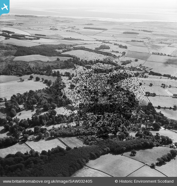
SAW032405 SCOTLAND (1950). Caulkerbush, general view, showing Southwick House and Home Farm. An oblique aerial photograph taken facing east. This image has been produced from a damaged negative.
© Copyright OpenStreetMap contributors and licensed by the OpenStreetMap Foundation. 2025. Cartography is licensed as CC BY-SA.
Nearby Images (12)
SAW032398

SAW032399

SAW032404

SAW032405

SAW032410

SAW032411

SAW032412

SAW032413

SAW032414

SAW032416

SAW032418

SAW032415

Details
| Title | [SAW032405] Caulkerbush, general view, showing Southwick House and Home Farm. An oblique aerial photograph taken facing east. This image has been produced from a damaged negative. |
| Reference | SAW032405 |
| Date | 1950 |
| Link | NRHE Collection item 1269797 |
| Place name | |
| Parish | COLVEND AND SOUTHWICK |
| District | STEWARTRY |
| Country | SCOTLAND |
| Easting / Northing | 293023, 557461 |
| Longitude / Latitude | -3.6684458490215, 54.900321019811 |
| National Grid Reference | NX930575 |
Pins
Be the first to add a comment to this image!