
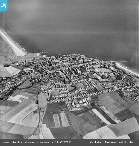
SAW032131 SCOTLAND (1950). St Andrews, general view. An oblique aerial photograph taken facing north.
© Copyright OpenStreetMap contributors and licensed by the OpenStreetMap Foundation. 2026. Cartography is licensed as CC BY-SA.
Nearby Images (7)
SAW032131

SPW040388

SAW009812

SAW009809

SAW009808

SPW040387

SPW040386

Details
| Title | [SAW032131] St Andrews, general view. An oblique aerial photograph taken facing north. |
| Reference | SAW032131 |
| Date | 1950 |
| Link | NRHE Collection item 1269706 |
| Place name | |
| Parish | ST ANDREWS AND ST LEONARDS |
| District | NORTH EAST FIFE |
| Country | SCOTLAND |
| Easting / Northing | 350899, 716579 |
| Longitude / Latitude | -2.7943365642349, 56.339111227737 |
| National Grid Reference | NO509166 |
Pins

Andy A |
Monday 22nd of February 2016 03:04:36 PM | |
|
Henrythefifith |
Wednesday 4th of July 2012 10:04:03 AM | |
|
Henrythefifith |
Wednesday 4th of July 2012 10:03:18 AM | |
|
Henrythefifith |
Wednesday 4th of July 2012 10:02:08 AM |