
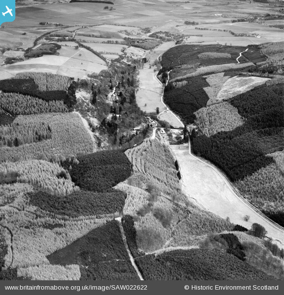
SAW022622 SCOTLAND (1949). Glen of Drumtochty and Drumtochty Castle, Auchenblae. An oblique aerial photograph taken facing east.
© Copyright OpenStreetMap contributors and licensed by the OpenStreetMap Foundation. 2026. Cartography is licensed as CC BY-SA.
Nearby Images (3)
SAW022622

SAW022619

SAW022620

Details
| Title | [SAW022622] Glen of Drumtochty and Drumtochty Castle, Auchenblae. An oblique aerial photograph taken facing east. |
| Reference | SAW022622 |
| Date | 1949 |
| Link | NRHE Collection item 1269204 |
| Place name | |
| Parish | FORDOUN |
| District | KINCARDINE AND DEESIDE |
| Country | SCOTLAND |
| Easting / Northing | 369750, 779933 |
| Longitude / Latitude | -2.4968105771837, 56.909894904269 |
| National Grid Reference | NO698799 |
Pins
 |

Billy Turner |
Thursday 10th of March 2016 01:58:49 PM |