
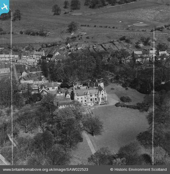
SAW022523 SCOTLAND (1949). Craigflower School, Low Causeway, Torryburn. An oblique aerial photograph taken facing north. This image has been produced from a crop marked print.
© Copyright OpenStreetMap contributors and licensed by the OpenStreetMap Foundation. 2025. Cartography is licensed as CC BY-SA.
Nearby Images (2)
SAW022522

SAW022523

Details
| Title | [SAW022523] Craigflower School, Low Causeway, Torryburn. An oblique aerial photograph taken facing north. This image has been produced from a crop marked print. |
| Reference | SAW022523 |
| Date | 1949 |
| Link | NRHE Collection item 1315166 |
| Place name | |
| Parish | TORRYBURN |
| District | DUNFERMLINE |
| Country | SCOTLAND |
| Easting / Northing | 302408, 686021 |
| Longitude / Latitude | -3.5673192432155, 56.057128133287 |
| National Grid Reference | NT024860 |
Pins
Be the first to add a comment to this image!